Taunton Walks | easy walks near Taunton |
| Walk 1 (1.8 miles) | Walk 2 (1.5 miles) | Walk 3 (4.4 miles) | Walk 4 (4 miles) |
| Town Trail | Pluto Trail | River Tone | Trull |
Walk 1 Taunton Town Trail (1.8 miles)
Difficulty:![]()
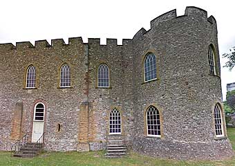
The official Taunton town trail taking in 42 historic sites/buildings, including the medieval Tone bridge, Taunton castle, the old Market centre, the old brewery.
Download Heritage Trail
| Download GPX | Mobile or GPS | |
| Download FIT | Watches | |
| Google Earth | ||
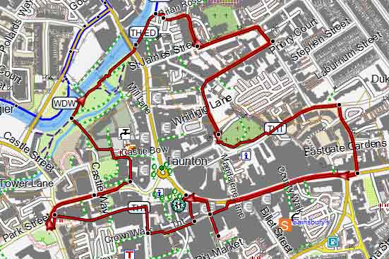
Map of Walk 1
Walk 2 Taunton Pluto Walk (1.5 miles)
Difficulty:![]()
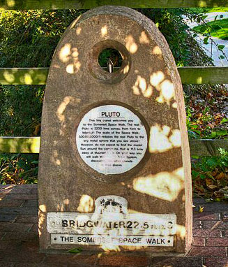
Pluto marks one end of the Somerset Space Walk routed along the Bridgewater & Taunton Canal. This easy short walk follows paths along the river Tone.
| Coal Orchard Pay & Display Car Park |
Download Pluto Trail
| Download GPX | Mobile or GPS | |
| Download FIT | Watches |
FREE HIKING MAP of UK South West
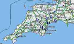
- More up to date than OS maps
- Designed for Walkers & Hikers
- PRINT YOUR OWN WALK IN DEVON!
No Login or Membership required!
Taunton makes an excellent base for walkers and ramblers with plenty of opportunities to explore its varied and lush countryside.
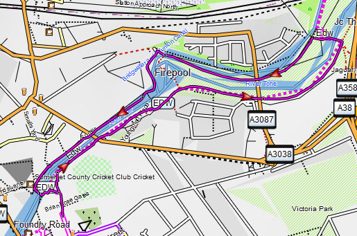
Walk 3 along the river Tone (4.4 miles)
Difficulty:![]()
This delightful river walk takes you out of Taunton (Tone town), along Weirside Riverside Local Nature Reserve , across the remains of the Grand Western Canal and past Longaller Mill's Waterwheel.
Download Route
| Download GPX | Mobile or GPS | |
| Download FIT | Watches |
Map of Walk 3
| Walks near Taunton: | |
 |  |
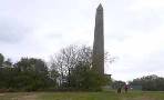
| Battle of Sedgemoor Walk | Creech St Michael |
 | 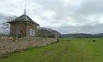 |
| Wellington | Pitminster |
 |  |
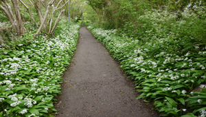
| Neroche Forest | Wiveliscombe |
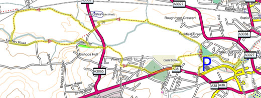
Walk 4 Trull to Taunton Town Centre (4 miles)
Difficulty:![]()
A very pleasant and easy walk following some residential roads but mainly footpaths and tracks.
Download Route
| Download GPX | Mobile or GPS | |
| Download FIT | Watches | |
| Google Earth | ||

| Residential Trull, South of Taunton. |
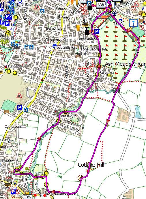
Map of Walk 4