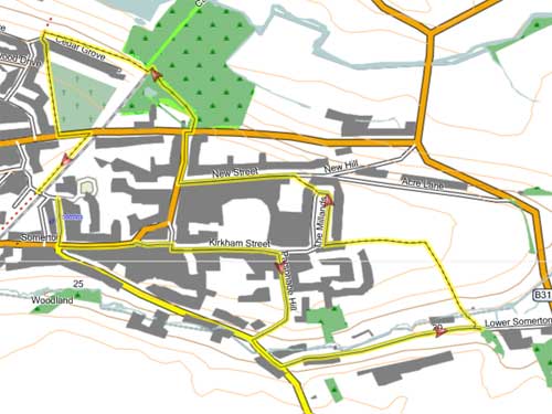
Somerton Walk | through an ancient Saxon town |
Walk 1 Town Trail (1.6 miles)
Difficulty:![]()
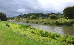
A short and delightful walk through the ancient capital of Somerset & along an old mill stream.
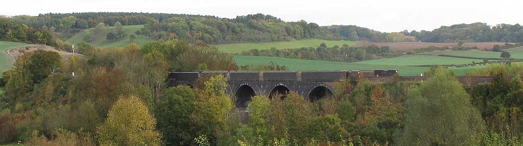
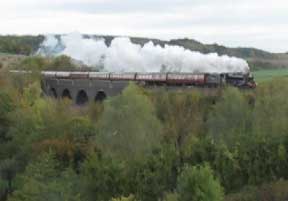
In the distance you can see the famous Cary Viaduct.
| Free Car Park behind shops, off King Ina Rd | |
| SATNAV Postcode:TA11 7PY |
time: | 40 mins |
terrain: | tracks paths |
| lanes | |
Points of Interest | Town Centre |
main roads | 0 % |
after rain | |
altitude range | 19 - 41 m |
Download Route
| Download GPX | Mobile or GPS | |
| Download FIT | Watches | |
| Google Earth | ||

FREE HIKING MAP of UK South West
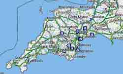
- More up to date than OS maps
- Designed for Walkers & Hikers
- PRINT YOUR OWN WALK IN DEVON!
No Login or Membership required!
Somerton Walk
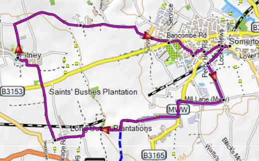
Walk 2 Pitney (8 miles)
Difficulty:![]()
This long but varied pub walk follows part of the Macmillan Way West, a long distance hiking route from Castle Cary toBarnstaple.
Many archaeological finds have been made near Pitney, including a Roman Villa.
| The Halfway Housewhere the route crosses the B3153 |
| A busy B1353 has to be crossed The route follows a short section of the B3165 |
Download Route
| Download GPX | Mobile or GPS | |
| Download FIT | Watches | |
| Google Earth | ||