Best Langport Walks | discover its charm & history |
| Select Your Walk | Walk 1 (1.8 miles) | Walk 2 (3.7 miles) | |
| Exploring Langport | Muchelney |
Walk 1 exploring Langport (1.8 miles)
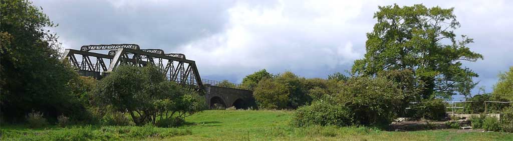
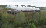
A short but delightful family walk along the canal and old railway bridges and through the 'Hanging Chapel'.
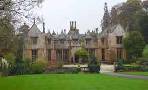
| Stacey's Court | |
| SATNAV Postcode:TA10 9PQ |
Difficulty:![]()
length: | 1.8 miles |
time: | 40 mins |
terrain: | paths |
| lanes | |
Points of Interest | canal Hanging Chapel |
main roads | 0 % |
after rain |
Download Route
| Download GPX | Mobile or GPS | |
| Download FIT | Watches | |
| Google Earth | ||

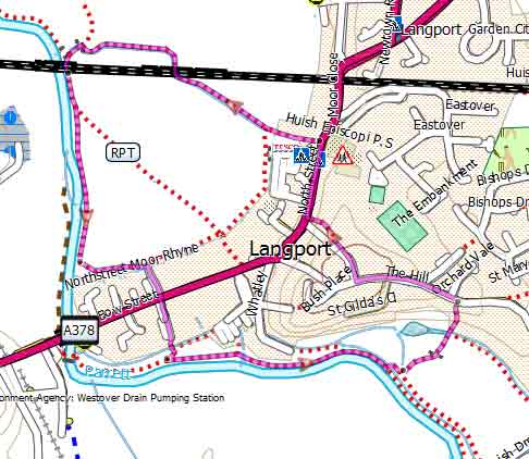

Walk 2 Muchelney (3.7 miles)
Difficulty:![]()
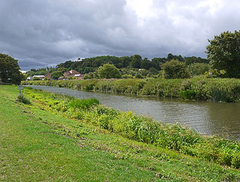
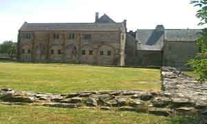
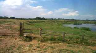
This delightful and gentle walk follows the River Parrett Trail along the meandering river Parrett to Muchelney Abbey.
From the carpark head south to the river then join a footpath and turn left keeping river on your right.
Continue and take right fork where path splits .
At lane turn right , cross bridge then turn left onto another public footpath and continue for 1 mile.
At lane turn left , cross the river and continue along lane to Muchelney.
You return via a disused railway track.
Download Route
| Download GPX | Mobile or GPS | |
| Download FIT | Watches | |
| Google Earth | ||
FREE HIKING MAP of UK South West
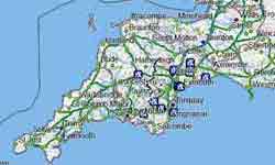
- More up to date than OS maps
- Designed for Walkers & Hikers
- PRINT YOUR OWN WALK IN DEVON!
No Login or Membership required!
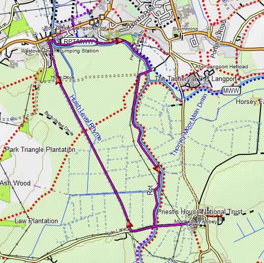
Map of Walk 2