Southwest Map for Walkers & Hikers |
Free Map of South West includes all Avon & Somerset foot & bridle paths and long distance routes.
The maps are carefully designed for walkers using different colours for permissive and public footpaths.
Available for PC/Mac or mobiles/gps handheld devices and Garmin Smart Watches, ie Fenix 5/7.
If you do not possess a gps device there are Android apps available which allow you to import this map.
Quick guide to why you may want to consider a gps device.
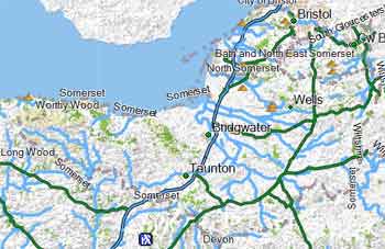
We have , by popular demand , combined Avon,Somerset,Wiltshire,Dorset,Devon and Cornwall into a new TOPO South West.
- routable - will calculate routes avoiding main roads.
- address searches
- with contours and DEM (3d)
- shows stiles,gates,picnic areas etc
- Includes Somerset's footpaths , bridlepaths and tracks
- more up to date than OS maps!
- It's FREE
Check out Topo South West Map
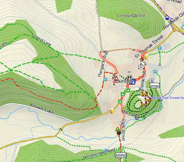
Topo map of Dunster Area
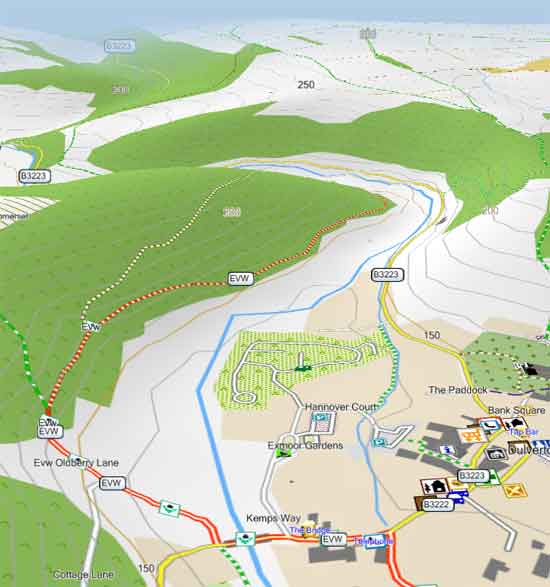
3D Topo map of Dulverton Area