Creech St Michael Walks | discover its charm & history |
| Select Your Walk | Walk 1 (4 miles) | Walk 2 (3.1 miles) | Walk 3 (5 miles) |
| towards Taunton | Charlton | Knapp |
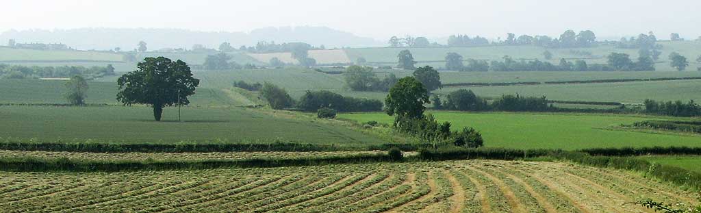
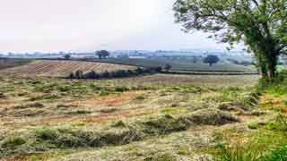
A selection of easy canal walks ideal for a sunny day.
The name means 'Hill dedicated to St Michael''.
| WWII Pillboxes constructed after Dunkirk, 1940=41 | |
| Small Car Park near canal At end of Vicarage Lane turn left onto service road. | |
| SATNAV Postcode:near TA3 5PR |
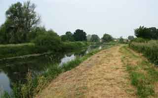
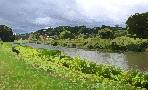
Walk 1 Canal & River Tone towards Taunton (4 miles)
A short but pleasant family walk along the canal into the outskirts of Taunton.
Difficulty:![]()
Download Route
| Download GPX | Mobile or GPS | |
| Download FIT | Watches | |
| Google Earth | ||

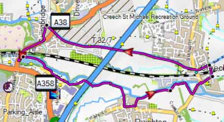
Walk 2 Canal to Charlton (3.1 miles)
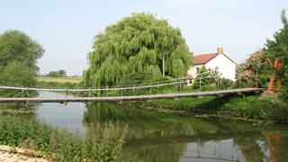
Swing Bridge across the Tone
Difficulty:![]()
This delightful and easy walk starts from the carpark and follows part of the River Tone to Charlton using mainly public footpaths.
Download Route
| Download GPX | Mobile or GPS | |
| Download FIT | Watches | |
| Google Earth | ||
FREE HIKING MAP of UK South West
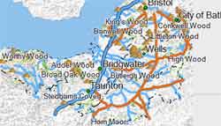
- More up to date than OS maps
- Designed for Walkers & Hikers
- PRINT YOUR OWN WALK IN DEVON!
No Login or Membership required!
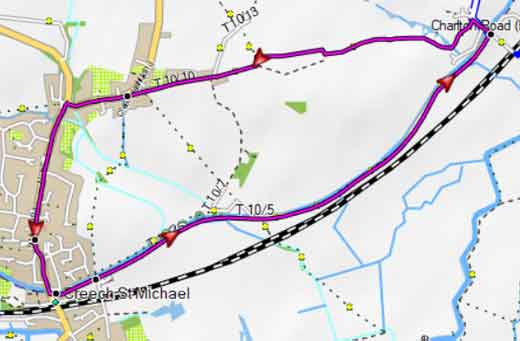
Map of Walk 2
Walk 3 to Knapp (5 miles)
Difficulty:![]()
A popular walk to the village of Knapp following quiet lanes and public footpaths.
There is no longer a pub at Knapp.
During the summer some public footpaths my become overgrown.
There are no steep hills or descents.
Download Route
| Download GPX | Mobile or GPS | |
| Download FIT | Watches | |
| Google Earth | ||
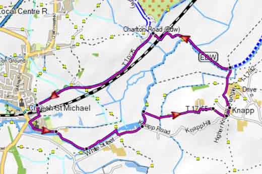
Map of Walk 3