Wellington Walks |
| Select Your Walk | Walk 1 (3.9 miles) | Walk 2 (2.3 miles) | |
| Monument | Winsbeer |
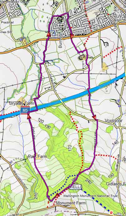
Walk 1 Monument (3.9 miles)
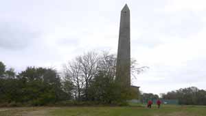
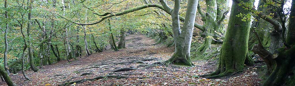
Wellington Monument stands proud above the Blackdown Hills and throughout the year attracts many a walker and rambler.
This very pleasant walk follows mainly public footpaths as it climbs steadily to the Wellington Monument with spectacular views as an incentive.
Difficulty:![]()
There is one very steep climb.
| End of Wellesley Park, Wellington | |
| SATNAV Postcode:TA21 8BS |
terrain: | tracks paths |
| lanes | |
Points of Interest | Wellington Monument |
main roads | 0 % |
altitude range | 81 - 271 m |
quality of track | *** |
stiles | a few |
Download Route
| Download GPX | Mobile or GPS | |
| Download FIT | Watches | |
| Google Earth | ||

| There is one steady climb. |
FREE HIKING MAP of South West
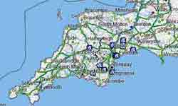
- More up to date than OS maps
- Designed for Walkers & Hikers
- PRINT YOUR OWN WALK IN Somerset!
No Login or Membership required!
Walk 2 Winsbeer (2.3 miles)
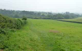
A short and easy walk starting from Wellington Sports Centre.
Difficulty:![]()
It follows public footpaths and quiet lanes & joins the West Devon Way long distance hiking route.
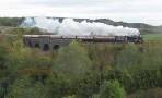
Caution :Railway crossing with no barriers on the busy Taunton to Exeter line.
Download Route
| Download GPX | Mobile or GPS | |
| Download FIT | Watches | |
| Google Earth | ||
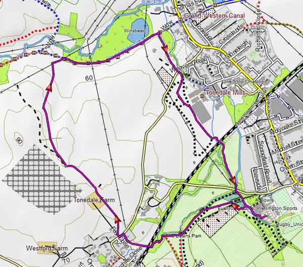
Map of Walk 2