Castle Neroche Walk | Walking through a royal forest |
| Select Your Walk | Walk 1 (1.5 miles) | Walk 2 (4.5 miles) | Walk 3 (13.4 miles) |
| Castle Neroche | Castle Neroche to Curland | Staple Fitzpaine Herepath |
Neroche Forest was once designated a royal forest for hunting deer - Ner meaning 'near ' and rechich 'a place for huntingdogs',
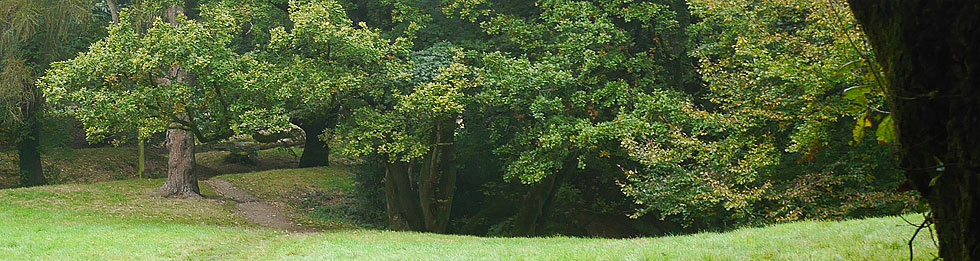
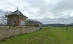
Neroche Forest offers a variety of trees including oak, sweet chestnut and hazel.Rare butterflies and wildflowers can also be found.
| Castle Neroche Free Car Park | |
| Quantocks | |
| Castle Neroche castle Neroche Forest | |
| SATNAV Postcode:TA20 3JZ |
Walk 1 Castle Neroche (1.5 miles)
Difficulty:![]()
An easy short walk through Castle Neroche Forest.
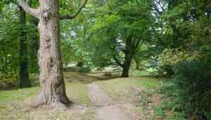
From the Car Park walk towards the forest then head East (anti clockwise).
At a lane turn left then follow lane for half a mile then turn left onto a public footpath.
Continue climbing steadily to the castle.
From here return to the car park.
Walk 2 Castle Neroche to Curland (4.5 miles)
Difficulty:![]()
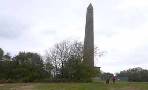
A very popular walk crossing the earthworks of a Norman motte and bailey castle built in 1087.
It follows public bridlepaths,tracks and green lanes.
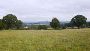
The route through the forest is well maintained as it descends into Curland providing spectacular views of the Quantock Hills.
It follows part of the Staple Fitzpaine Herepath - see below.
There is a short steep ascent and descent.
Download Route
| Download GPX | Mobile or GPS | |
| Download FIT | Watches | |
| Google Earth | ||

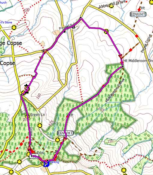
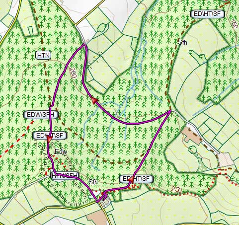
Map of Walk 1
length: |
3.9 miles |
time: |
1 hr 40 mins |
| height | 90 - 270 m |
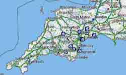
| Walks near Castle Neroche | ||
 |
 |
|
| Wellington | Pitminster | |
Walk 3 Staple Fitzpaine Herepath (13.4 miles)
Difficulty:![]()
This splendid long distance trail encircling Staple Fitzpaine.reaches its highest part in Neroche Forest.
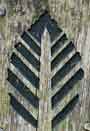 |
| Follow the 'fern' logo |
Herepath is derived from the German Heerweg, a road for Lords or an Army,
Download Herepath Route
| Download GPX | Mobile or GPS | |
| Download FIT | Watches | |
| Google Earth | ||
FREE HIKING MAP of Somerset
- More up to date than OS maps
- Designed for Walkers & Hikers
- PRINT YOUR OWN WALK IN DEVON!
No Login or Membership required!
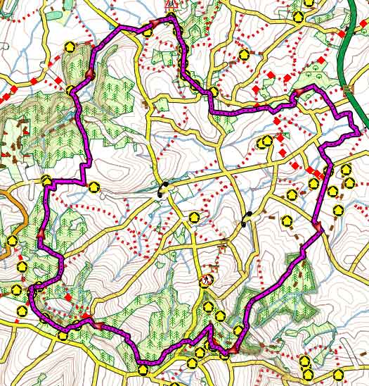
Map of Walk 2