Circular Exmoor Walks |
with free gpx/kml route guidance |
 |
Check out some of the best circular walks on Exmoor , all with free download of routes .
Long Distance Walks across Exmoor
Exmoor covering part of North Devon and Somerset is enjoyed by many a long distance hiker, some following the Two Moors Way,Tarka Trail or Coleridge Way -
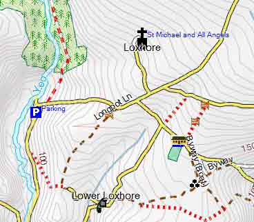
It sets the scene for the story of Lorna Doone - see walk.

It is known for its wooded valleys,bracken covered combes (hilly grassland),stone bridges,spectacular views and picturesque villages with teashops!
Click here to download long distance walks.
What to look for when buying a handheld GPS.
For unbiased advice CLICK here.
FREE Map of Exmoor for Hikers and Walkers
Print your own map or use it on your GPS!
For more details click here.
| About Exmoor |
| easy, mainly flat | |
| easy, some climbs | |
| moderate with climbs | |
| strenuous or over 3 hours |
Help with Dog Tracking Collars & GPX files
For more Information on GPX files and what to look for before buying a DOG Tracking device click here.
: |
Miles | Difficulty | ||
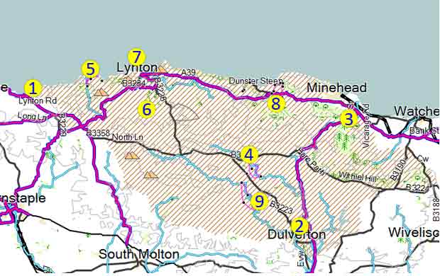
| 1 |  |
Combe Martin | 6.5 | |
| 2 |  |
Dulverton | 9.5 | |
| 3 | 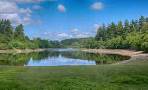 |
Dunster | 5.4 | |
| 4 | 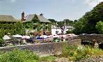 |
Exford | 5 | |
| 5 | 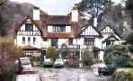 |
Hunter's Inn | 2 - 6 | |
| 6 | 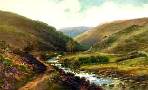 |
Lorna Doone Country | 4.8 | |
| 7 |  |
Lynmouth | 3.9 | |
| 8 | 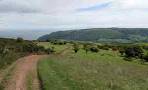 |
Porlock | 4.1 | |
 |
South Molton | 6.2 | ||
| 9 | 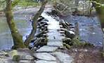 |
Tarr Steps | 5 | |