|  |  |  |  |  |  |
Best Hunter's Inn Walks | great scenic walks |
| Select Your Walk | Walk 1 (2 miles) | Walk 2 (5 miles) | Walk 3 (3.9 miles) |
| Heddon's Mouth Beach | Hunter's Inn Coastal Walk | Coastal walk to Martinhoe |

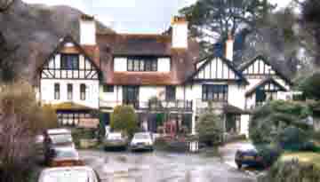
Hunter's Inn , a walker's favourite pub, lies secluded in the river Heddon valley.
Dating back to 1823, The Hunter’s Inn began as a humble thatched cottage, serving ale to local hunting and shooting parties — giving the inn its name.
As Victorian visitors discovered the beauty of the Heddon Valley, the inn grew to welcome walkers and travellers, adding guest rooms in the 1860s. After a devastating fire in1895, The Hunter’s Inn was rebuilt inspired by a Swiss design.
Local legend says that only one barrel of beer survived the flames.
 | Hunter's Inn |
 | Hunter's Inn Car Park |
 | Hunter's Inn Car Park |
 | what3words ///flame.warned.presented |
 | Postcode: EX31 4PY Off B3223 between Dulverton and Simonsbath Follow signs for Liscombe |
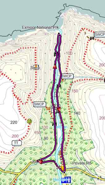
Walk 1 Heddon's Mouth Beach (2 miles)
Difficulty:

A popular and easy walk along the little Heddon to the mouth of the river and Heddon's Mouth Beach.
Walk past the pub and across the bridge.
After 0.2 miles turn sharp right into a signed track. .
Continue to the coast with river on your right.

Download Route
| Download GPX | Mobile or GPS | |
| Download FIT | Watches | |
| Google Earth | ||
| Walks near Hunter's Inn | |
| Combe Martin | |
 | Exploring the highest point of the South West Coast Path. |
| Arlington Court | |
 | Delightful scenic walks through wooded valleys and rolling countryside. No Trust membership required. |
| Dunster | |
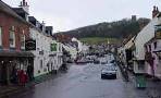 | The historic & picturesque village of Dunster on the edge of Exmoor & the Quantocks has been the setting for many films. |
Walk 2 Hunter's Inn Coastal Walk (5 miles)
Difficulty:

A delightful walk with extensive coastal views and a possible excursion to a Roman Fort.
From the Car Park take a path right of the pub and continue along the South West Coast Path following signs for Woody Bay, sheltered by woody cliffs.
Download Route
| Download GPX | Mobile or GPS | |
| Download FIT | Watches | |
| Google Earth | ||
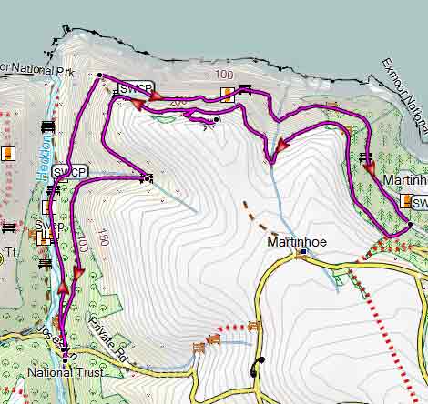






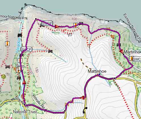
Walk 3 Coastal walk to Martinhoe (3.9 miles)
Difficulty:
Similar to walk 2 but returning via Martinhoe with its 16 listed buildings and a church dating back to the 13th century.
Download Route
| Download GPX | Mobile or GPS | |
| Download FIT | Watches | |
| Google Earth | ||