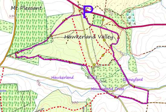
Best Hawkerland Valley Walks |
| Select Your Walk | Walk 1 (1.7 miles) | Walk 2 (3.1 miles) | |
| Short Walk | to Stoneyford |
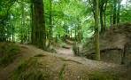
Hawkerland Valley was once used for storing essential D Day equipment.
In the summer the valley is a haven for wildlife containing many species of butterfly.
During the walk you will notice flattened areas and various overgrown tracks - read more.
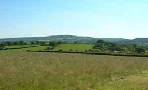
| Extensive Views Hawker Valley and WWII Heathland flowers & wild life. | |
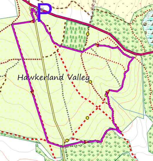
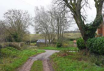
| Free Car Park entrance via country lane to Coleton Raleigh - see maps |
Walk 1 Short Walk (1.7 miles)

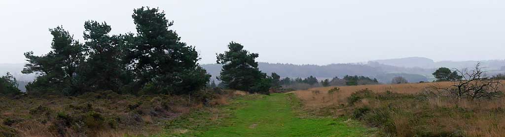
This very easy walk offers expansive views towards the sea across a gently rolling heath land.
All paths are well defined and after heavy rain fall not impassable.
The walk follows part of the East Devon Way , a long distance hiking route from Exmouth to Lyme Regis.
Difficulty:![]()
Download Route
| Download GPX | Mobile or GPS | |
| Download FIT | Watches | |
| Google Earth | ||

Hawkerland Walk 1
| Walks near Hawkerland | |
| Newton Poppleford | |
 | Delightful river and pub walks. A must , if you are in the area. |
| Aylesbeare | |
 | An easy walk exploring the rural and peaceful life around Aylesbeare and Perkin's Village using quiet lanes and public footpaths - ideal for a spring or summer's day. |
| Woodbury Castle | |
 | Woodbury Common is a popular place for dog-walkers; there is plenty of 'space' and the views are quite spectacular. |
Walk 2 to Stoneyford (3.1 miles)
Difficulty:![]()
An pleasant and easy moorland walk leading into the hamlet of Stoneyford. It returns following a very old bridle path.
Download Route
| Download GPX | Mobile or GPS | |
| Download FIT | Watches | |
| Google Earth | ||
Hawkerland Walk 2