East Budleigh | nestling in an area of outstanding natural beauty |
| Walk 1 (2.8 m) | Walk 2 (3.5 m) | Walk 3 (3.5 m) | Walk 4 (5.5 m) |
| Local Rural Walk | Obelisk & Otterton Mill | Obelisk & river Otter 2 | Budleigh Salterton Otter Estuary |

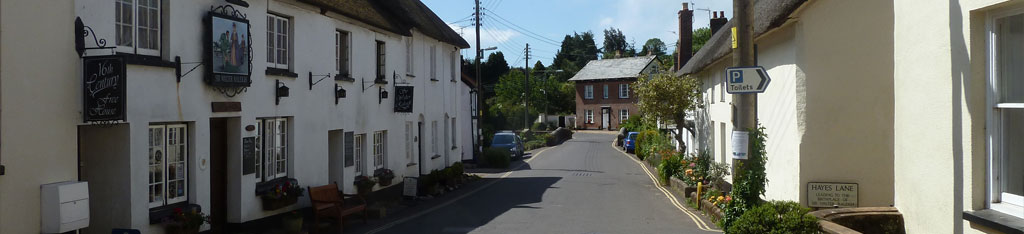
Mentioned in the Doomesday Book this picturesque village with a car park is ideal for exploring the delightful Raleigh country.
East Budleigh originally was called Budleigh as it was larger than Budleigh Salterton, a town which used to be named Salterton.
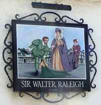
| Raleigh Pub Obelisk, Otterton Mill | |
| The Rolle Arms | |
| Free Car Park behind Church |
Walk 1 Best inland walk (2.8 miles)
Difficulty:![]()
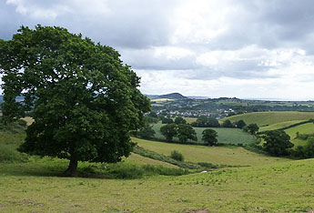
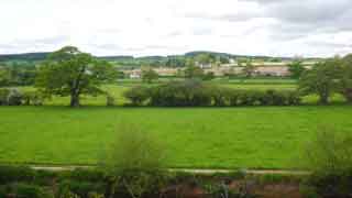
This short & peasant walk takes you through a most picturesque village to the start of Hayes Wood from where the views of the coastline are quite stunning.
main roads | 0 % |
yes | |
altitude range | 9 - 98 m |
stiles | |
Download Route
| Download GPX | Mobile or GPS | |
| Download FIT | Watches | |
| Google Earth | ||

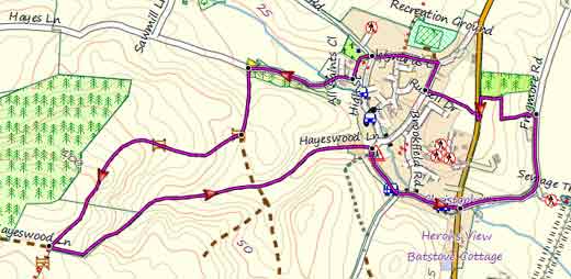
Map of Walk 1
| Walks near East Budleigh | |
 |  |
| Colaton Raleigh | Budleigh Salterton |
 |  |
| Otterton | Bystock Nature Reserve |

There is one steep climb.
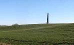
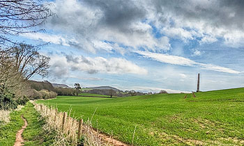
Walk 2 Obelisk & Otterton Mills (3.5 miles)
Difficulty:![]()
This delightful and easy walk starts at the car park in East Budleigh and takes you past the church where Sir Walter Raleigh's father was church warden.
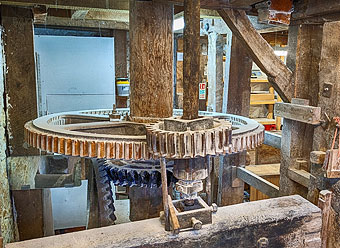
The route includes Bicton Obelisk & Church then returns via Otterton Mill (well worth a visit) , along the Otter and an old aqueduct.
Please note:There might be warnings that the path along the otter is closed but cunning walkers have created a small if not muddy diversion.
Download Route
| Download GPX | Mobile or GPS | |
| Download FIT | Watches | |
| Google Earth | ||
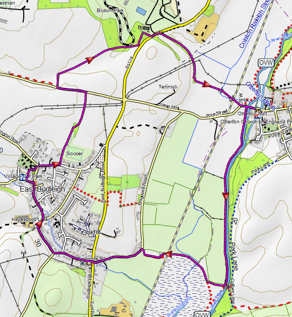
Walk 2
Walk 3 Obelisk , Otterton variation (3.5 miles)
Difficulty:![]()
Like walk 2 but via Otterton and returning using an old lane, now a cyclepath, above the Otter with magnificent views of the valley - road is closed to vehicles. The route takes you along East Budleigh's Middle street and High street with its charming stream and cottages.
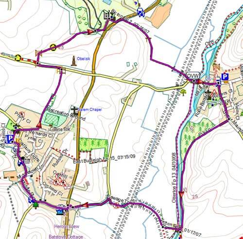
Walk 3
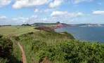
Walk 4 to Budleigh Salterton (5.5 miles)
Difficulty:![]()
This pleasant 5+mile (pub) hike takes you to the charming town of Budleigh Salterton and returns via the river Otter and the Otter Estuary Nature Reserve.
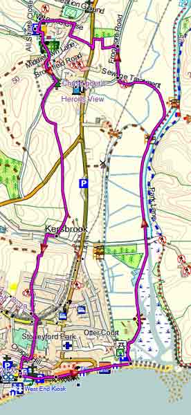
Map of Walk 4