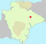
Best Cullompton Walks
| Select Your Walk | Walk 1 (3.3 m) | Walk 2 (5.7 m) | Walk 3 (1.2 m) | Walk 4 (2.3 m) | Walk 5 (7.3 m) |
| Knowle | Russel Lane | Town Trail | River Walk | Tiverton |
Cullompton is an old market town which suffered a dramatic fire in 1839 destroying many houses and cottages.
Its main street is located away from the Culm and has lanes descending to long forgotten water mills.
The name means Settlement near the Culm
 | Bakehouse |
| See below |
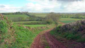
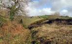
Walk 1 to Knowle (3.3 miles)
Difficulty:![]()
A delightful walk to the hamlet of Knowle, similar to second walk but shorter.
Download Route
| Download GPX | Mobile or GPS | |
| Download FIT | Watches | |
| Google Earth | ||

| Park & Display Forge Way |
Map of Walk 1
| Walks near Cullompton | |
| Willand | |
 | A short and easy walk following lanes and some footpaths, even a disused railway line, into the heart a charming old village. |
| Uffculme | |
 | A delightful and gentle walk following a well defined footpath along the river Culm |
| Bradninch | |
 | Although the walk contains one of the steepest climbs, the views and the well marked footpaths through rolling and remote landscapes make it a most enjoyable experience. |
| Broadhembury | |
 | A very pleasant & most popular walk taking you past the Devon & Somerset Gliding club - refreshments are available, when open. |
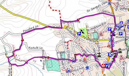
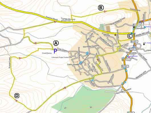
Walk 2 Russel Lane (5.7 miles)
Difficulty:![]()
A gentle 6 mile hike through an unspoilt tranquil countryside.
The Walk
A From the Rugby Football club Car Park turn left and follow Knowle Lane until a footpath on right crossing some fields.
B Goblin lane runs past the location of a mobile Roman Fort and may have existed during the Roman occupation.
C Turn right into an alley (almost opposite CO-OP) .
D There is a gentle climb to the top of Russel Lane where the views are breathtaking.
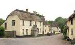
| Rugby Football Club Crow Green | ||
| map of walk |
Download Route
| Download GPX | Mobile or GPS | |
| Download FIT | Watches | |
| Google Earth | ||
Map of Walk 2
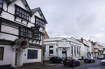
Walk 3 Town Trail (1.2 miles)
![]() Difficulty:
Difficulty:![]()
| Best Devon Town Trails |
| This is one of our 'Thirty Minute Walks' |
A varied and easy Town trail taking in key historical features.
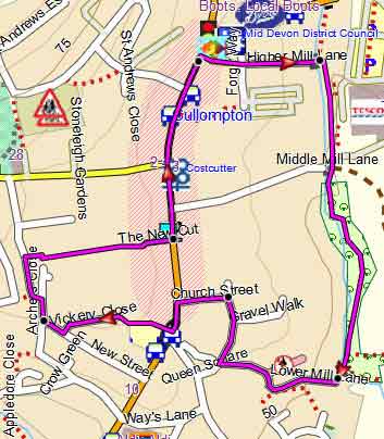
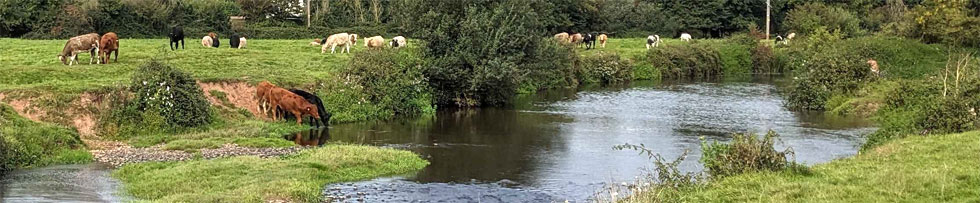
Walk 3 Town Trail following the river Culm
Walk 4 Along the river (2.3 miles 1 hour)
Difficulty:![]()
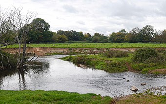
Dip your toes into the river Culm! There are some wide views of St Andrews Church as you walk along the river.
The walk includes some busy roundabouts.
| Download PDF |
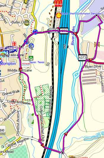
Walk 4 Along the River Culm
Walk 5 Tiverton Cullompton Circular (16 miles)
Difficulty:![]()
A long distance walk linking Tiverton and Cullompton using lanes and public footpaths.
There are 2 routes:
Northern Route (7.3 miles)
This follows part of the tow path along the Tiverton canal. Only village:Ash Thomas (no pub)
Sourhern Route (8.7 miles)
This joins the East Devon Way via Butterleigh
( ![]() Butterleigh Inn ) .
Butterleigh Inn ) .
Buses 1 or 1A run frequently between Tiverton and Cullompton.
For more information click here.

Walk 5