Upottery Walk | on the edge of the Blackdown Hills |
Walk 1 River Otter (2.6 miles)
Difficulty:![]()
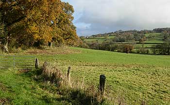
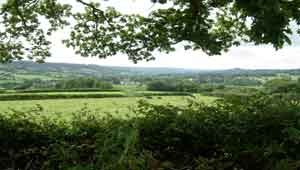
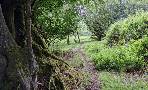
An easy river & dog walk following tracks and public footpaths ; tracks can become quite muddy after heavy rain fall.
The area features many old clay pits used for manufacturing bricks or producing pottery.
Download Route
| Download GPX | Mobile or GPS | |
| Download FIT | Watches | |
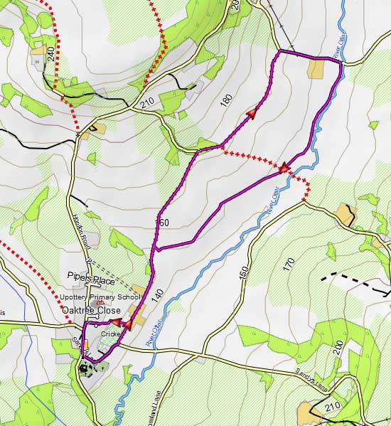
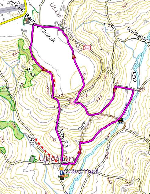
Walk 2 River Otter and Beacon Hill (4.6 miles)
Difficulty:![]()
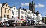
Upottery boasts one pub , The Sidmouth Arms.
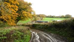
This pleasant walk on the edge of the Blackdown Hills can be quite muddy after heavy rain fall.
It follows an old track and footpath to the Otter which eventually leads to a country lane. Turn left then left into a track.
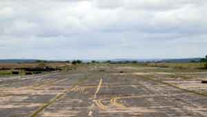
The walk steadily climbs towards what used to be called Upottery Airfield (Smeatharpe) - you pass a brick memorial to the USAAF Station 462.
From here, follow a lane towards the now disused airport . Just before a chapel (150 m) turn left into a public footpath which takes you back to Upottery.
If you want to see the disused airport continue along the lane until you reach a T junction. Ahead, you will notice the airport and an old control tower.
length: | 4.6 miles |
time: | 1 hr 50 mins |
terrain: | tracks footpaths |
| country lanes | |
main roads | 0 % |
10% | |
altitude range | 150 - 225 m |
quality of track | ** |
stiles | several |
Download Route
| Download GPX | Mobile or GPS | |
| Download FIT | Watches | |
| Google Earth | ||

| River Otter , USAAF memorial |
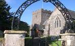
| Upottery Residential | |
Upottery Walk
| Walks near Upottery | |
| Smeatharpe | |
 | Solitary Woodland and Moorland walks near a WW2 airfield with a free heritage centre |
| Yarcombe | |
 | Enjoy scenic walks with spectacular views of the Yarty Valley. |
| Honiton | |
 | Check out all popular walks from a historic town known for its lace and market. |
| Dunkeswell | |
 | Three popular walks including a rewarding but somewhat strenuous ramble to the ruins of an old abbey. |