Best Sticklepath Walks | escape into tranquility |
| Walk 1 ((4.5 miles) | Walk 2 (1.8 miles) | |
| Sticklepath to Belstone | Along the Taw |
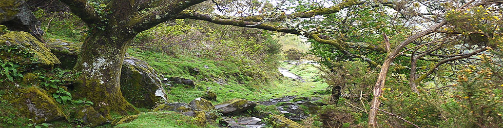
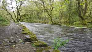
Walking through a dramatic & peaceful scenery following the meandering River Taw.
| Finch Foundary |  |
The name probably means 'Steep Path'
| Belstone , river Taw and fauna along tracks Stocks | |
| Finch Foundary, its National Trust shop and tea-room | |
| Taw River Inn | |
| Sticklepath , residential | |
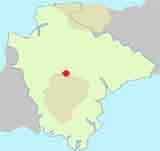
| SATNAV Postcode:EX20 2NW |
Walk 1 Sticklepath to Belstone (4.5 miles)
Difficulty:![]()
This most scenic walk follows the cascading river Taw all the way to the quaint and ancient village of Belstone, known for its stocks and ![]() pub.
pub.
The Walk
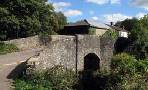
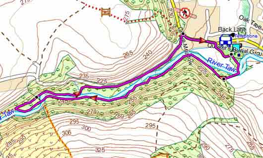
A From the Finch Foundary walk towards Taw River Inn pub and continue along main road.
B Just after crossing the river Taw turn right onto bridlepath and follow the Tarka Trail.
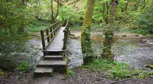
C Continue following this bridle path keeping close to the river -
Parts of the path are quite rocky demanding strong footwear.
D After crossing the river continue to next bridge. Cross river again and continue with river on your right.
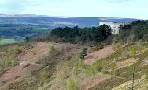
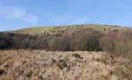
E The path turns inland for a short while then loops right , up a grassy hill towards Belstone. The views here are quite magnificent.
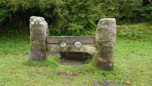
F Walk into Belstone past stocks, church and pub. At the T junction turn right then left onto a public footpath.
G When you reach a lane turn right.
Ignore first footpath on right but continue for 200m and almost at the end of a wooded area take footpath right . At the end of the path turn left into a lane.
H Take bridlepath on right and follow a bluebell and ramson lined track back to Sticklepath.
Walk 1
| Walks near Sticklepath | |
| Okehampton | |
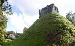 | Best pub walks to Okehampton Castle & Belstone. |
| Castle Drogo Walks | |
 | Three delightful walks near Castle Drogo, Drewsteignton , ideal any time of the year! |
| South Zeal | |
 | Two popular pub walks exploring North Dartmoor |
| North Tawton | |
 | A very pleasant walk, most of it on footpaths, following part of the Tarka Trail along the river Taw towards Bondleigh church. |
Download Route
| Download GPX | Mobile or GPS | |
| Download FIT | Watches | |
| Google Earth | ||
Walk 2 Along the Taw (1.8 miles)
Difficulty:![]()
This walk follows the Taw , as above , then crosses the river to a car park returning via a country lane. Allow for at least an hour
Note:
Parts of the path along the river are quite rocky demanding strong footwear.
Download Route
| Download GPX | Mobile or GPS | |
| Download FIT | Watches | |
| Google Earth | ||

Walk 2