

Best Exminster Marsches Walks
| Walk 1 (4.7 miles) | Walk 2 (2.8 miles) | Walk 3 (3.1 miles) | Walk 4 (3.0 miles) |
| Marshes and Turf Hotel | Marshes and Turf Hotel | Exeter Canal | Ridgetop Park |
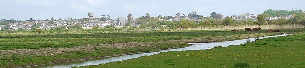
Exminster Marshes form a unique breeding ground for various birds, including redshanks, ducks and lapwings.
 | RSPB nature reserve Exeter Canal Topsham ferry |
 | Turf Hotel |
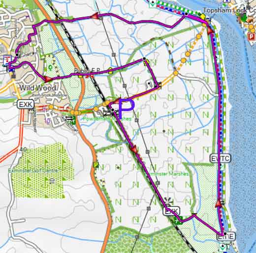
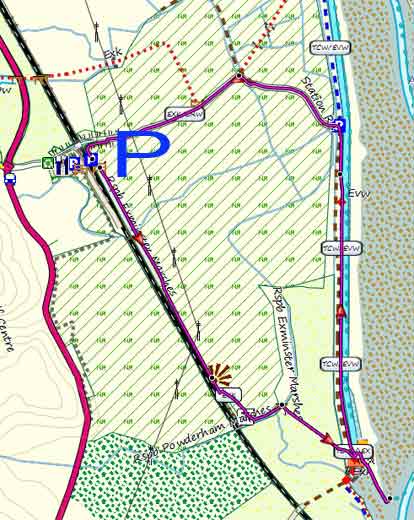
 | Walks 1-3 near railway bridge - see map/what3words |
 | what3words ///riding.narrow.risks |
 | SATNAV Postcode: EX6 8DZ |
Walk 1 Exminster Marshes and Turf Hotel(4.7 miles)
Difficulty:

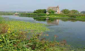
This is an easy and most enjoyable walk across the RSPB nature reserve to the Exeter Canal towpath.
Beware, swans might be nesting on the towpath.
Some tracks can get muddy during the winter.

Download Route
| Download GPX | Mobile or GPS | |
| Download FIT | Watches | |
| Google Earth | ||
| Walks near Exminster | |
| Exeter Canal | |
 | The Quay is a truly vibrant part of Exeter with lots of cafes & pubs and a river abuzz with swans and boats .Three popular easy walks! |
| Ridgetop Park | |
 | Discover Ridgetop Park – a tranquil hilltop escape newly opened with scenic walking trails, panoramic views and peaceful green meadows! |
| Kenton | |
 | Just a delightful and gentle walk ideal for spring or summer through pretty landscapes and woodlands |
| Powderham | |
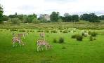 | Two delightful walks around Powderham castle. Both do not require an entrance fee. |
Walk 2 Marshes and Turf Hotel (2.8 miles)
Difficulty:
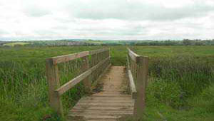
This starts at the Carpark on right just across the railway line, nr the Swan's Nest pub - see map bottom right.
An ideal easy and short walk to the Turf Hotel, then returning along the canal.
A stretch across a field near the Turf Hotel can be quite soggy.
Download Route
| Download GPX | Mobile or GPS | |
| Download FIT | Watches | |
| Google Earth | ||
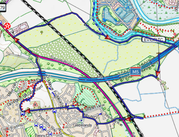
Walk 3 Exeter Canal (3.1 miles)
Difficulty:
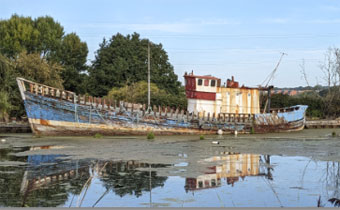
An easy walk to the Exeter Canal following public footpaths and quiet lanes.
- En route on the footpath along the A379 you may notice an old milestone , inscribed 179 miles to London.
- Notice the abandoned boats on the far side of the Exeter Canal.
- You return following footpath running under the impressive M5 viaduct.
| Farm House Rise EX6 7XL what3words ///deny.span.design |
Download Route
| Download GPX | Mobile or GPS | |
| Download FIT | Watches | |
| Google Earth | ||







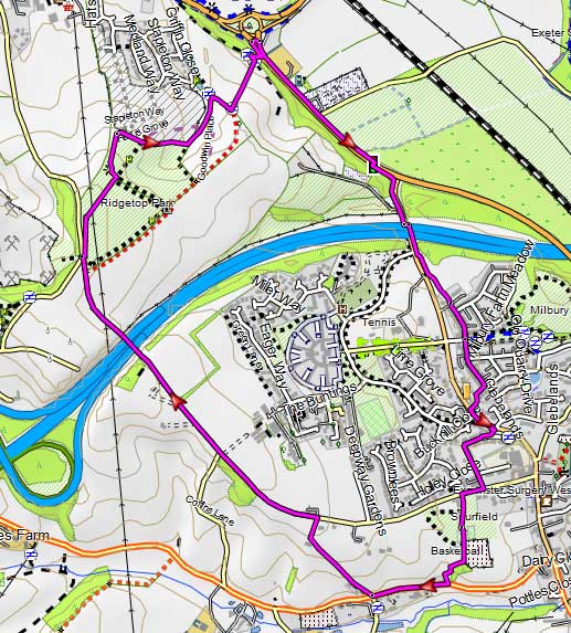
Walk 4 Ridgetop Park (3.0 miles)
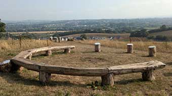
Start your morning with a great walk to Ridgetop Park, Exeter’s newest gem, and soak up stunning city views under the rising sun.
The route follows quiet lanes with some steep paths.
Caution:The road to Dawlish is busy, and in one place pedestrians must cross using islands without the help of traffic signals - in the olden days there used to be a crossing for cattle!
| Deepway Lane,Deepway Centre |
Download Route
| Download GPX | Mobile or GPS | |
| Download FIT | Watches | |
| Google Earth | ||
| Ridgetop Park | |
| Discover Ridgetop Park – a tranquil hilltop escape newly opened with scenic walking trails, panoramic views and peaceful green meadows! |
