Coleridge Link Trail |
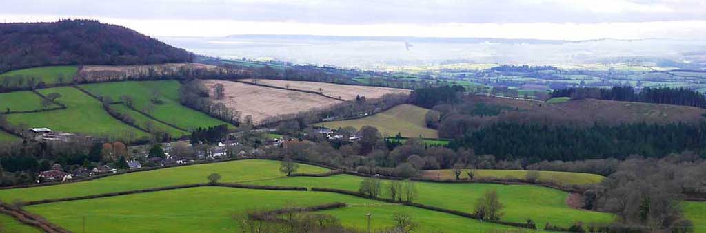
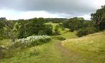
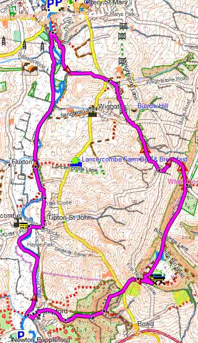
The Coleridge Link is a delightful 9 mile walk following the route often taken by Coleridge.
| Coleridge ; Remote Countryside |
Distance:9 miles
Difficulty:![]()
The route includes several steep climbs and primarily follows public footpaths and tracks, with occasional stretches along quiet country lanes."
Not to be confused with the Coleridge Way, in North Devon/Somerset.
The trail takes in Ottery St Mary, Tipton St John, Harpford, Hollow Head Cross and White Cross.
| Walks nearby | |
 |  |
| Ottery St Mary | Sidbury |
length: | 9 miles |
terrain: | tracks bridle/ paths |
| lanes | |
main roads | 0 % |
altitude range | 39 - 235 m |

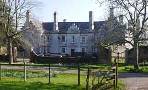
Ottery St Mary The best option is the Main Pay & Display Car Park |
Coleridge Link Walk