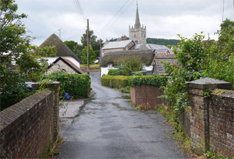
Sidbury | stunning views of East Devon |
| Select Your Walk | Walk 1 (4.2 miles ) | Walk 2 (5.2 miles) | |
| (West) White Cross | (East) Sweetcombe |
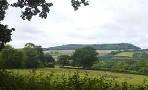
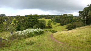
All walks from Sidbury involve a certain amount of climbing but the views are quite spectacular!
The name means Fortification near the Sid
| Start :Car Park, Ridge Close |
| Sidbury, White Cross Sidbury Castle | |
| Red Lion | |
| Free Car Park Ridge Close |
Walk 1 White Cross (4.2 miles )
Difficulty:![]()
This pleasant walk consists of a steady but easy climb through an almost alpine landscape.
At White Cross the views of Woodbury Common and Dartmoor are quite breathtaking - not surprisingly, the East Devon Way follows this delightful route.
On return you descend into a rolling valley of an almost forgotten Devon, past Sidbury Castle, a large Iron Age hill fort.
main roads | 0 % |
2% | |
altitude range | 54 - 233 m |
stiles | several |
Download Route
| Download GPX | Mobile or GPS | |
| Download FIT | Watches | |
| Google Earth | ||


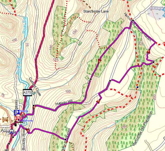
Map of Walk 1
| Walks near Sidbury | |
| Sidford | |
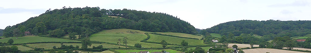
 | Core Hill close to Sidbury castle contains some of the oldest beech pine and oak trees in Devon supporting a unique variety of lichens and fungi. |
| Sidmouth | |
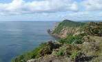 | Great walks combining forests, moorland and sea with breathtaking views of the Jurassic coast. |
| Donkey Sanctuary | |
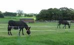 | A short but invigorating family walk from the Donkey Sanctuary to the Jurassic Coast where in 2007 the Napoli ran aground. |
Walk 2 Sweetcombe (5.2 miles)
Difficulty:![]()
This quite strenuous but enjoyable walk follows part of the well maintained East Devon Way towards Sweetcombe.
Sidbury is worth a visit for its charm and history.
Map of Walk 2