Best Longdown Walks | exploring hidden Devon |
| Select Your Walk | Walk 1 (2.2 miles) | Walk 2 (2.3 miles) | |
| to Holcombe Burnell | to Holcombe Burnell Church |
Longdown is a small but active village on the Exeter to Dunsford road.
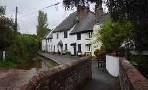
| Holcombe Burnell Church Manor House | |
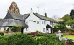
| The Lamb | |
| Residential Car Park, Village Hall |
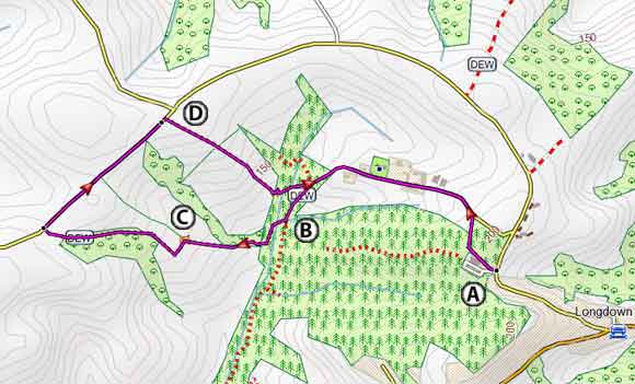
Walk 1 to Holcombe Burnell (2.2 miles)
Difficulty:![]()
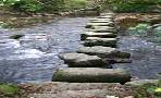
A very pleasant walk following public footpaths and quiet lanes through a most beautiful & unspoilt part of Devon.
Download Route
| Download GPX | Mobile or GPS | |
| Download FIT | Watches | |
| Google Earth | ||
The Walk
A From the Car Park take foot path on right of Village Hall.
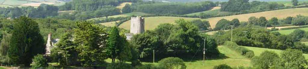
At the lane turn left and descend to Holcombe Burnell , its manor house and church.
Part of the Manor House at Holcombe Burnell dates back to Henry VIII.
A chapel built next to the manor house was destroyed and rebuilt in the early 19th century.
B As you reach a stream ignore footpath on left but climb steadily along a stream, curving slightly to the right.
When reaching a hedge on left follow this keeping hedge on your left until you come to an opening in the hedge.
C Climb stiles and enter a field . Follow hedge on left to the top.
At the lane turn right and continue for 0.3 miles.
D Just before a lane on your left , take footpath on your right and continue following the path to the bottom of the hill - Continue through a wood until you reach the track you came from.
Turn left and continue back to the car park.
The route involves two steady descents and climbs.
Walk 1
| Walks near Longdown | |
| Dunsford | |
 | Many popular walks around Dunsford & Steps Bridge including the famous Daffodil Walk |
| Ide | |
 | Various walks from a most picturesque village known for the longest ford in the UK |
| Doddiscombsleigh | |
 | Three pleasant pub walks from the well known 'Nobody Inn' |

 | En Route No Pubs or Cafe |
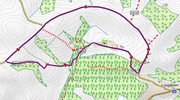
Walk 2 to Holcombe Burnell Church (2.3 miles)
Difficulty:![]()
Similar to the first walk but , on return, it follows quiet country lanes.
The walk descends into Holcombe Burnell and slowly climbs into a wooded area.
Download Route
| Download GPX | Mobile or GPS | |
| Download FIT | Watches | |
| Google Earth | ||
| Residential Car Park, Village Hall |
Map of Walk 2