Best Newton St Cyres Walks | great forest walks |
| Walk 1 (4.5 m) | Walk 2 (4.2 m) | Walk 3 (2.9 m) | Walk 4 (4.8 m) | Walk 5 (6.5 m) |
| Newton Wood | Coombland Wood | Suttern Brook | River Creedy | Pub Shobrooke |

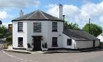
The pine fresh forests south of Newton St Cyres are maintained by the Forestry Commission and as yet undiscovered offering the walker complete tranquility and unsurpassed natural beauty.
| Mini Swiss Landscape | |
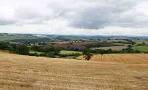
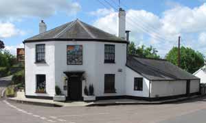
| the Crown & Sceptre. | |
| Free Car Park near village hall at Newton St Cyres |
OS maps do not show all the paths and tracks as many of them are new.
We hope to preserve the forests' unrivalled charm by not publishing detailed route descriptions. Instead, you can download our gps routes or use our maps.
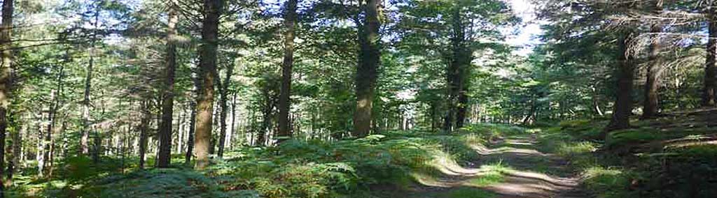
Walk 1 Newton Wood (4.5 miles)
![]() Difficulty:
Difficulty:![]()
This delightful walk uses public footpaths , tracks and quiet lanes.
The Walk
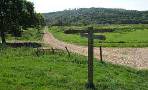
A From the car park turn left into West Town Road. Where the road splits bear right up Riscombe Hill.
B Turn left onto a public footpath. Follow this until you reach a lane.
C Turn left, then left onto a track descending into the forest.
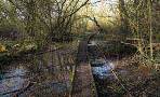
D Cross ford then after swing-gate take a not too clearly defined track on left.
E You can either take a well signed permissive path on left (highlighted in green on map) or continue down Tinpit Hill into the village.
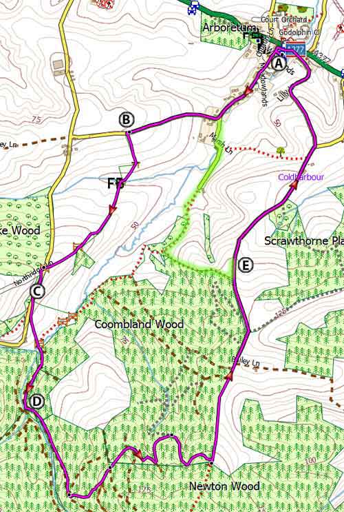
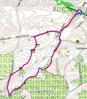
Map of Walk 1
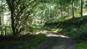
Walk 2 Coombland Wood (4.2 miles)
Difficulty:![]()
A very pleasant walk through woods and rolling farmland using permissive paths which may at any time be closed.
However, judging by the new signs and gates we expect these paths to be open.
A very secluded walk near Exeter along major tracks and through magnificent, heavily scented forests, where wild deer can still be seen.
The paths are not clearly defined and grass may be long in summer.

Map of Walk 2
terrain: | Forest Tracks |
| Fields | |
lanes | 47% |
wellies | * |
altitude range | 38-230m |
quality of track | **** |
Walk 3 Suttern Brook (2.9 miles)
Difficulty:![]()
This short walk uses permissive paths which may at any time be closed - see above.
This easy and pleasant walk follows the Suttern Brook using permissive paths and will take about an hour.
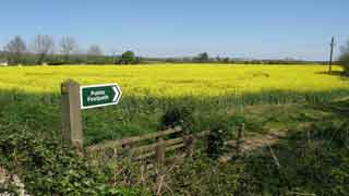
Newton St Cyres has one pub ![]() , the Crown & Sceptre.
, the Crown & Sceptre.
| Walks near Newton St Cyres | |
 |  |
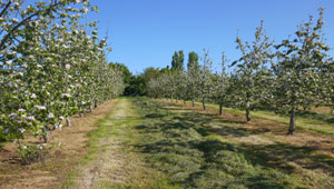
| Shobrooke | Newton's Orchard |
 |  |
| Crediton | Brampford Speke |
 | |
| Cowley | |
| Free Car Park near village hall at Newton St Cyres |
Map of Walk 3
Walk 4 River Creedy (4.8 miles)
Difficulty:![]()
| The Beer Engine |
This enjoyable river & pub walk follows quiet lanes and public footpaths.
| Cricket Club near the Station |
Some stretches can get muddy during the winter or after heavy rain.
| railway crossing without barriers |
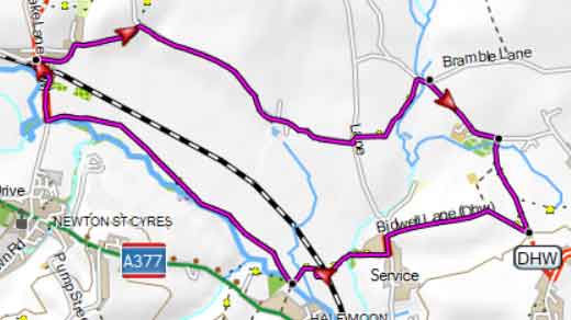
Map of Walk 4
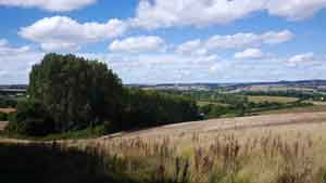
Walk 5 Shobrooke (6.5 miles)
Difficulty:![]()
| Cricket Club, Station Road | |
| The Beer Engine |
A popular pub walk taking you North of Newton St Cyres into a relatively secluded area of Devon, through orchards and along a golf course.
It follows part of the Devonshire Heartland Way, linking the Exe Valley with Okehampton. You may like to take a break at the Red Lion pub at Shobrooke.
It skirts part of the Newton St Cyres Golf Club , now permanently closed.
The tracks are generally very good.
At the end of the walk you may be tempted to visit the famous Beer Engine built around 1850 as a railway hotel and established as a pub and brewery in 1983.
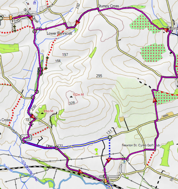
Map of Walk 5