Best Mincinglake Valley Park Walks |
| Walk 1 (1 mile) | Walk 2 (1.8 miles) | |
| Mincinglake Circular | St Katherine's Priory |
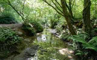
Mincinglake , a lake created by 'monikens' - see below - has become an ideal place for dog walkers.
The name dating back to the Anglo Saxons means A fish lake created by 'female monks', ie nuns.
The lake no longer exists and the priory is now a local community centre,
| St Katherine s Priory | |
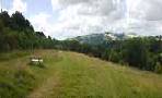
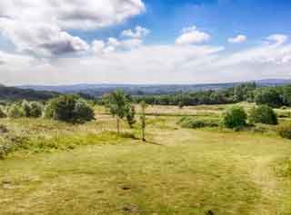
| Some extensive views of Exeter & Haldon | |
| Paths can be wet | |
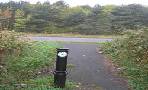
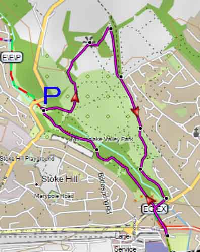
| Small car park off Stoke Hill - see map | |
| what3words ///grin.swift.sides |
Walk 1 Views & St Katherine's priory (1 mile)
Difficulty:![]()
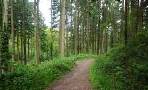
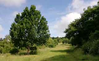
A short & pleasant walk along and across Mincinglake Stream following tracks and paths.
The paths are well defined though stretches can become muddy after heavy rain.
Use map to extend the walk.

Download Route
| Download GPX | Mobile or GPS | |
| Download FIT | Watches | |
| Google Earth | ||
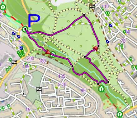
Map of Walk 1
| Walks near Mincinglake | |
| Stoke Woods | |
 | A collection of popular walks through this ancient wood with Jane Austen connections. |
| University | |
 | Explore the many walking opportunities from Exeter University. |
| Exeter Green Circle | |
 | A carefully designed circular walk around Exeter avoiding major roads ;it follows old lanes, tracks, footpaths and some residential roads. |
Walk 2 Views & St Katherine's priory (1.8 miles)
Difficulty:![]()
The direction of this route ensures the best views of Exeter and Haldon.
When you join another small car park follow the service road to the main road. Cross over into St Katherine's Road.
After 110 m cross over onto a cycle path and soon or your left you will see St Katherine's priory.
It was founded before 1159 and dissolved in 1539.
Return the way you came and once back into the park continue with the stream on your right following the Exeter Green Circle.
After 160m you can turn right and cross the stream ; once out of the woods turn left.
Both dam and lake no longer exist.
Download Route
| Download GPX | Mobile or GPS | |
| Download FIT | Watches | |
| Google Earth | ||
Walk 2