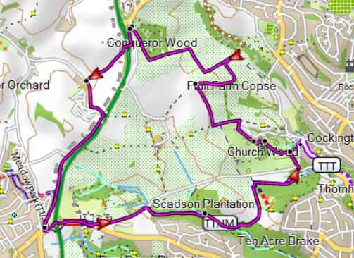
Best Gallows Gate Walk |
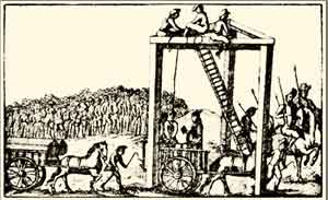
Gallows were often erected on parish boundaries.
| Gallow's Gate Cockington Conqueror Wood | |
| Gallows Gate Car Park, Stantor Lane | |
| The best route to the Car Park is via Gallows Gate Roundabout then take Marldon Rd heading Torquay then first lane on right signed Stantor Barton. |
Difficulty:![]()
Distance:5.5 miles
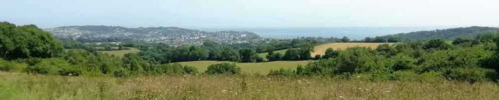
A great circular pub walk into Cockington following well marked foot paths and quiet lanes with lots of wild flowers during the summer.
It includes some steep sections and starts from the spot where 4 different parish boundaries meet.
Please only do this walk if you have the gpx route on your mobile or can read maps - the return out of Cockington is quite tricky.
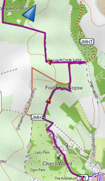
From the car park walk along Stantor. Lane then just before the lane becomes private turn right into a tunnel below the A380.
At the end of the tunnel turn left and continue along a permissive service road.
At the T junction turn left and follow lane past Widecombe farm.
Just before the A380 take cycle path on right and continue heading south along this path until Preston Down Road & roundabout.
Follow the John Musgrave Heritage Trail signs into Cockington.
Continue following the John Musgrave Trail out of Cockington .
Use map below or GPX to return to the car park.
Download Route
| Download GPX | Mobile or GPS | |
| Download FIT | Watches | |
| Google Earth | ||

Walk to Marldon & Cockington
| Walks near Gallows Gate | |
| Marldon | |
 | Two great walks from Marldon to Berry Pomeroy Castle through rural countryside which has changed little since the middle ages |
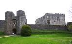
| Cockington | |
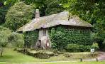 | Two pleasant walks through this most enchanting village, known for its gift shops, craft centre, tea gardens and Drum Inn, designed by Lutyens. |