Eggesford Walks | following the Tarka Trail with stunning views and scenery |
| Select Your Walk | Walk 1 (5.7 miles) | Walk 2 (8.5 miles) | Walk 3 (2.7 miles) | Walk 4 |
| Exploring Eggesford | Chawleigh | Flashdown Wood | Eggesford Forest |
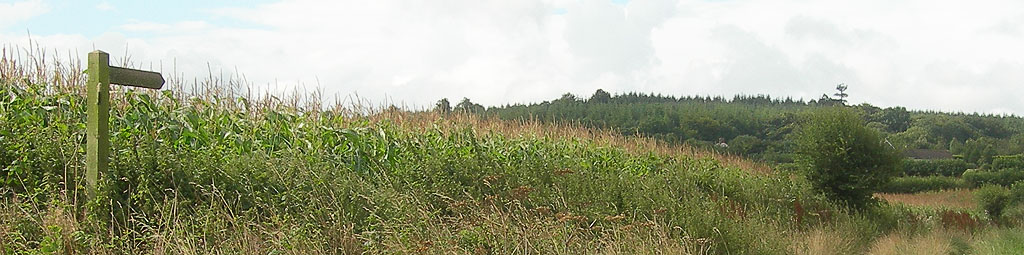
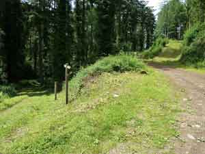
Follow part of the Tarka trail through a most scenic & tranquil landscape.
Eggesford:A ford named after 'Eccon'
Chawleigh :Calf on a hilly meadow
The locals refer to the church as 'the one without a village'.
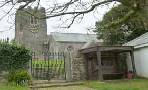
| All Saints Church, Eggesford | |
| The Earl of Portsmouth (walk 2 only) | |
| All Saints Church, Eggesford | |
| What3Words:///weds.reduction.stutter | |
| The best route to the Car Park is via the A377 then take lane signed Chawleigh and first lane on left. SATNAV postcode:EX18 7QU |
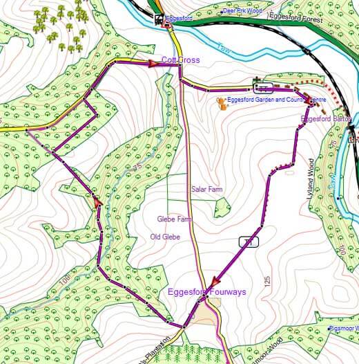
Walk 1 Exploring Eggesford (5.7 miles)
Difficulty:![]()
A most varied 5+ mile hike, partly following the Tarka trail to the river Taw and crossing Eggesford Forest.
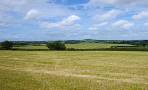
The route offers some spectacular views of Dartmoor.
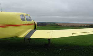
A small detour can be made to see Eggesford Airfield, which is still in use. An impressive collection of aircraft, some restored, is kept in the hangar.
| Walk 1 | |
| time: | 2 hrs 20 min |
| terrain: | forests, lanes |
| fields, tracks | |
| main roads | 0% |
Download Route
| Download GPX | Mobile or GPS | |
| Download FIT | Watches | |
| Google Earth | ||
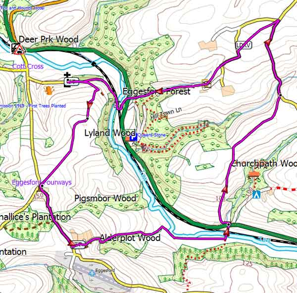
Map of Walk 1
| Walks near Eggesford | |
| Chulmleigh | |
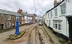 | Thatched cob cottages , narrow cobbled streetsand extensive views of Dartmoor. |
| Lapford | |
 | A lovely country walk from a village with character so typical of 'old' Devon. |
| Zeal Monachorum | |
 | The tranquil hills around Zeal 'Monachorum' have changed little since the Middle Ages when they were cultivated by the monks of Buckfast Abbey. |
| Morchard Bishop | |
 | Morchard (Large Wood) Bishop lies almost halfway on the Two Moors Way . In the village you will find a detailed map of all the footpaths in the area , a welcome sign to all walkers and hikers. |

Walk 2 to Chawleigh (8.5 miles)
Difficulty:![]()
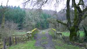
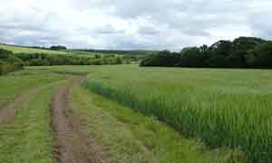
A popular but quite strenuous circular walk from Eggesford to Chawleigh.
Wellingtons are recommended as several public footpaths cross muddy and boggy areas.
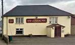
Pub  at Chawleigh :The Earl of Portsmouth
The route takes you into a most undisturbed , almost wild part of Devon . The old and barely readable mile stone at Labbet's Cross is inscribed 'Here Ends the Exeter Turnpike XVII 1/2 Miles From Exeter'
There are some spectacular views beyond Nutson farm.
Download Route
| Download GPX | Mobile or GPS | |
| Download FIT | Watches | |
| Google Earth | ||
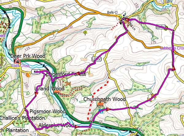
Eggesford Walk 2
Walk 3 Flashdown Wood (2.7 miles)
Difficulty:![]()
A pleasant short walk exploringHayne Valley and Flashdown Wood, South of Eggesford.
| All Saints Church, Eggesford |
Download Route
| Download GPX | Mobile or GPS | |
| Download FIT | Watches | |
| Google Earth | ||
Eggesford Walk 3
Walk 4 Eggesford Forest ( 1.1 miles)
Difficulty:![]()
For a map of Eggesford Forest and a short walk click here.