Best Chudleigh Knighton Walks
| Walk 1 (6.7 miles) | Walk 2 (4 miles) | |
| Stover Park & Teign | Gappah |
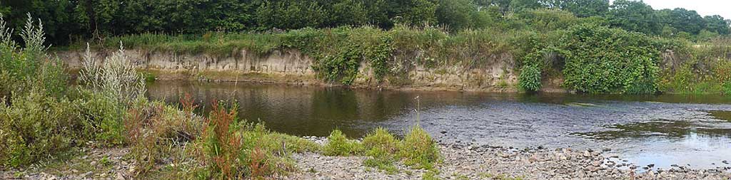
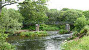
Along idyllic stretches of a peaceful river Teign.
| Both walks include a stretch along a country lane with heavy traffic. |
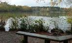
| The thatched Claycutters Arms on Bovey Road The Anchor Inn. | |
| 'the Bridge' or Playground on Bovey Road |
Walk 1 Stover Park & Teign (7.2 miles)
Difficulty:![]()
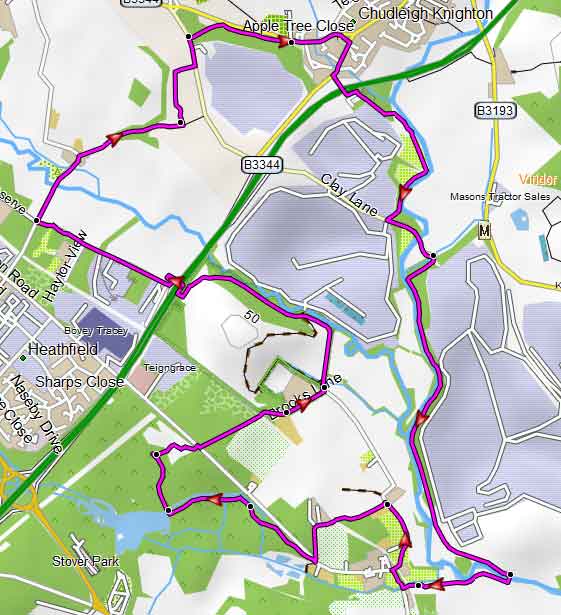
A varied and very popular walk leading to the delightful Stover Park where it follows part of the Templer Way along the graceful river Teign - with easy paddling access!
It passes the recently restored Stover Canal Basin with sections of old tramway rails.
It also uses the newly constructed foot/cycle bridge across the dual carriageway.
Towards the end it crosses Knighton Heath a nature reserve by the Devon Wildlife Trust and passes the ![]() Claycutters Arms.
Claycutters Arms.
Download Route
| Download GPX | Mobile or GPS | |
| Download FIT | Watches | |
| Google Earth | ||

Map of Walk 1
| Walks near Chudleigh Knighton | |
| Chudleigh | |
 | This charming old market town known for its wool and tannery offers the walker many opportunities to explore an almost parklike landscape. |
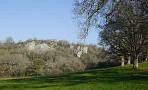
| Stover Park | |
 | Stover Country Park , once part of a large estate owned by James Templer, is a great centre for both long and short family walks. |
| Ideford | |
 | Ideford , an unspoilt rural village dating back to the Saxons, is still surrounded by ancient tracks and drover's lanes used for driving cattle. |
Walk 2 along a peaceful river (4.8 miles)
Difficulty:![]()
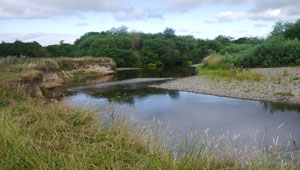
The walk takes you along beautiful stretches of the river Teign , climbing steadily to 'Gappah' . From here it offers priceless views of Dartmoor.
Chudleigh Knighton enjoys ![]() 2 pubs.
2 pubs.
The thatched Claycutters Arms on Bovey Road The Anchor Inn.
Parking is available near the playground, see map or 'the Bridge'.
length: | 4 miles |
time: | 1 hr 30 mins |
terrain: | tracks, paths |
| lanes | |
busy roads | 8 mins |
1% | |
altitude range | 9 - 80 m |
quality of track | **** |
Download Route
| Download GPX | Mobile or GPS | |
| Download FIT | Watches | |
| Google Earth | ||
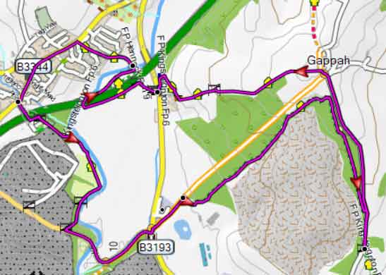
Map of Walk 2