Best Chudleigh Walks |
| Walk 1 (1.2 m) | Walk 2 (3.2 m) | Walk 3 (2.9 m) | Walk 4 (7.5 m) |
| Town Trail | River Teign | East Chudleigh | Haldon Forest |
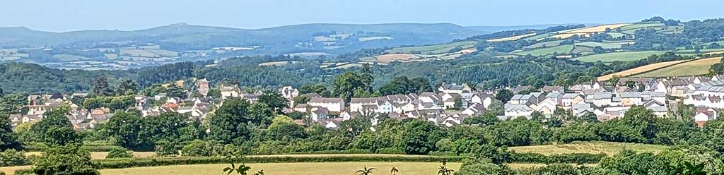
This charming old market town known for its wool and tannery offers the walker many opportunities to explore an almost parklike landscape.
The name means A clearing near a hollow.
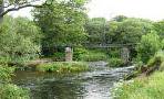
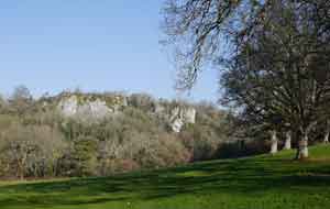
| Chudleigh Cavern containing stalactites | |
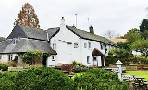
| Bishop Lacy The Phoenix | |
| Free next to St Mary & St Martin's church , Fore Street or in front of bowling club, off Millstream Meadow see P on map |
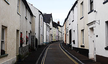
Walk 1 Town Walk(1.2 miles)
Difficulty:![]()
| Best Devon Town Trails |
| This is one of our 'Thirty Minute Walks' |
Chudleigh town walk (40 mins) capturing the charming town of Chudleigh.
Download Town Trail
| Download GPX | Mobile or GPS | |
| Download FIT | Watches |
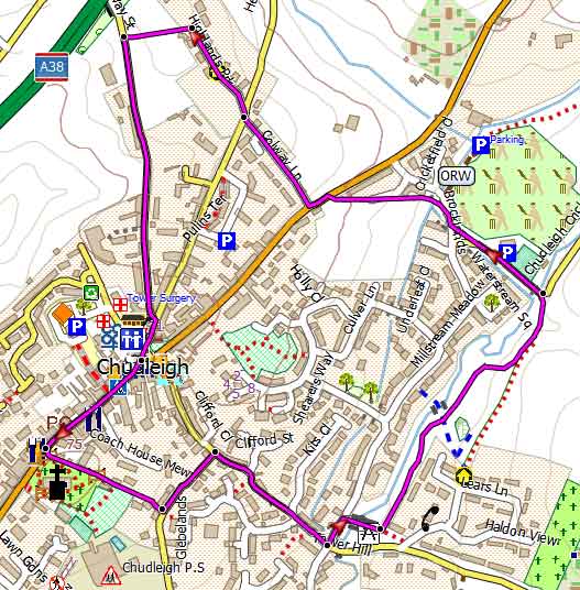
Map of Town Trail
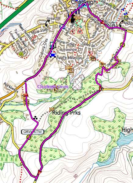
Walk 2 Along the Teign (3.2 miles)
Difficulty:![]()
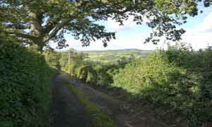
This walk encircles Chudleigh , a town full of character owning much of it's former prosperity to the wooltrade.
The Walk
A From lane beside Bowling Club turn right into Brocklands then left into a cyclepath. At the T junction cross road and turn left.
B Turn right into Colway Lane and continue into Highlands Park. At the end turn left onto a public footpath.
CAt the end of the path turn right and cross the dual carriage way bridge. Do not take first lane on left but continue up hill.
D Just before a farm yard turn left into a lane and track and continue downhill ignoring footpath on right.
E After 660m turn left onto public footpath along the Teign, a typical Devon river, fast flowing , quite shallow and broad. Stay on the upper path away from the river - lower path is private.
F At the edge of the wood take path up hill to rejoin the main public footpath.
Follow this skirting the edge of the wood.
The path joins a service road. After a tunnel there is quite a steep climb to a T junction.
Turn left and follow lane back into Chudleigh.
G At Fore Street turn left then just after the church turn right onto a footpath.
At t Parkway Road, cross over onto another footpath. This join s Glebelands which meanders towards the Kate Brook. Turn right into Clifford Street.
H At the cross roads turn left then take footbridge across the Kate Brook and turn left following a path back to your starting point.
Download Route
| Download GPX | Mobile or GPS | |
| Download FIT | Watches | |
| Google Earth | ||

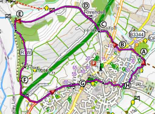
Map of Walk 2
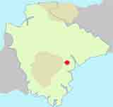
| Walks near Chudleigh | |
| Doddiscombsleigh | |
 | Two walks from the famous Nobody Inn, which once served as a church house. |
| Chudleigh Knighton | |
 | A varied walk leading to the delightful Stover Park following part of the Templer Way along the graceful river Teign - with easy access for paddling! |
Walk 3 East Chudleigh (2.9 miles)
Difficulty:![]()
The walk takes you through the town and uses a public footpath that passes the site of Bishop's Palace in the field of Palace Farm.
The building dates back to the 16h century but no longer exists.
After a fairly steep climb you can enjoy some spectacular views of Dartmoor.
At the top turn left following the old outer walls of Ugbrooke House, home of the Lords Clifford.
It descends somewhat steeply across delightful rolling meadows back into Chudleigh.
Download Route
| Download GPX | Mobile or GPS | |
| Download FIT | Watches | |
| Google Earth | ||
Map of Walk 3
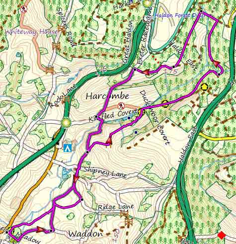
Walk 4 Chudleigh to Haldon (7.5 miles)
Difficulty:![]()
For a longer walk into Haldon check out :
Walk 5 Chudleigh to Trusham (5.5 miles)
Difficulty:![]()
A delightful but strenuous circular 5+ mile pub hike to Trusham.