Best Tedburn St Mary Walks |
| Select Your Walk | Walk 1 (4.5 miles) | Walk 2 (2.1 miles) | Walk 3 (4.2 miles) |
| Black Alder Wood | Easy | Barton Church |
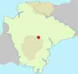
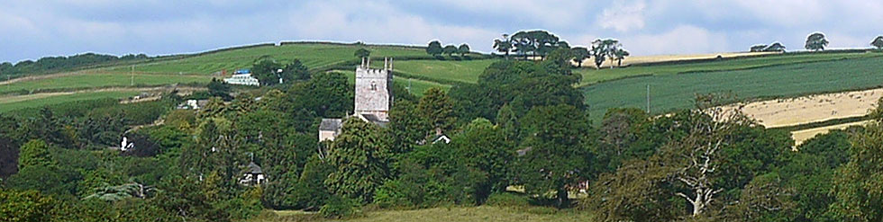
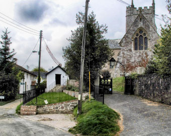
A delightful village tucked away on the edge of several forests
The name means 'Tet' , a stream, near St Mary's church
| Where to Eat? | |
 | The Kings Arms |
| Travellers Rest | |
 | Kings Arms and the Red Lion. |
 | Near Post Office off Huish Lane,Tedburn St Mary |
 | SATNAV Postcode:EX6 6DZ |
Walk 1 Black Alder Wood (4.5 miles)
Difficulty:

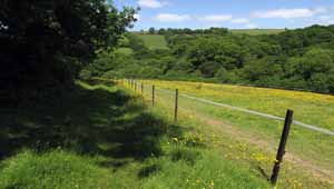
This walk is at its best during a sunny day in summer when you can enjoy the profusion of buttercups, foxgloves and red campions.
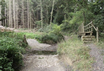
- After heavy rain, a short stretch of the bridlepath in the forest can be quite tricky but can be negotiated.
- Although there is a steepish climb, the effort is rewarded by stunning views and total seclusion.

Download Route
| Download GPX | Mobile or GPS | |
| Download FIT | Watches | |
| Google Earth | ||
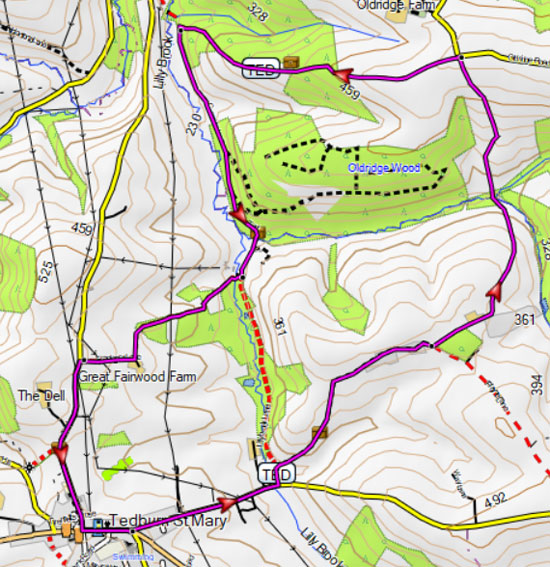
Walk 2 Easy Short Walk (2.1 miles)
Difficulty:

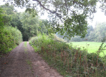
A shorter walk through old tracks and rolling hills.
During the winter section of a track can become very muddy making the walk more strenuous.
Download Route
| Download GPX | Mobile or GPS | |
| Download FIT | Watches |

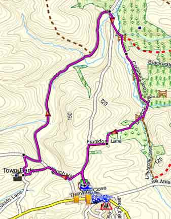
Walk 3 Barton Church (4.2 miles)
Difficulty:
This rural walk takes you to Town Barton Church then follows a fairly long stretch up an old & tranquil lane to Blackalder Wood, returning via paths and tracks.
| Walks near Tedburn St Mary | ||
 |  | |
| Crediton | Cheriton Bishop | |