Best Tamar Trails | Great walks through Blackdown Wood |
A superb place to relax and walk.
The Tamar Trails are a network of 25km of waymarked trails located in the heart of the Tamar Valley AONB. The trails offer something for everyone, from easy family strolls to challenging mountain bike rides.
Walking Trails
There are 12 walking trails to choose from, ranging from 1.5km to 8km in length. The trails take you through a variety of landscapes, including woodland, farmland, and riverside paths. You'll also have the opportunity to learn about the area's mining heritage.
 | Tamar Trail Centre, off A390 |
 | what3words ///positions.snow.unites |
 | SATNAV Postcode:PL19 8JE |
 | Car Park |
| Where to Eat? | |
 | Beech Cafe - check for opening days |
| Cafes in Tavistock | |
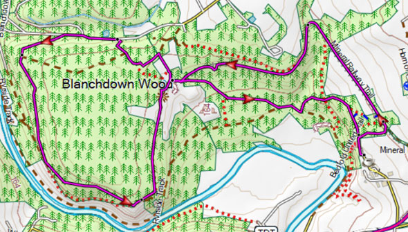
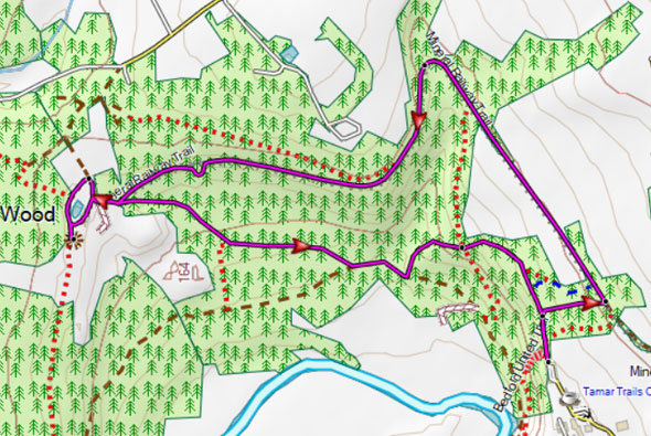
Walk 1 Arsenic Calcines (2.7 miles)
 Difficulty:

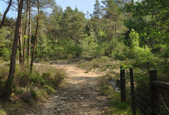
A very enjoyable woodland walk through a historic landscape.
It involves one steep climb.
There are various information boards and picnic tables throughout the walk for you to enjoy a great day out.
Download Route
| Download GPX | Mobile or GPS | |
| Download FIT | Watches |

| Walks nearby | |
| Tavistock | |
 | Best town walks through this ancient tin producing market town. |
| Shaugh Prior | |
 | Explore a magical river valley, open moorland and the mysterious Dewerstone Rock. |
Walk 2 Wheal Frementor (4.8 miles)
Difficulty:
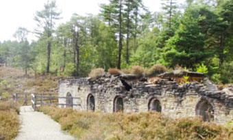
- Wheal Frementor is a former mine located in the southern section of the Devon Great Consols mining area on the bank of the River Tamar.
- The mine was known for its tungsten and tin winnings
- A popular destination for tourists who want to explore the rich mining history of the area and enjoy scenic walks along the riverbank.
Download Route
| Download GPX | Mobile or GPS | |
| Download FIT | Watches |