Best Killerton Walks |
| Walk 1 (2.8 miles) | Walk 2 (3.5 miles) | Walk 3 (4.2 miles) | Walk 4 (6.8 miles) |
| Columbjohn | Killerton to Ashclyst | Killerton to Broadclyst | Killerton to Silverton |
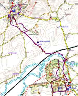
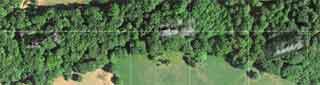
| map of Killerton footpaths |
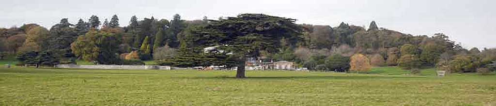
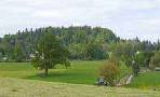
Killerton is a historic 18th-century estate featuring a Georgian mansion, beautiful gardens, and woodlands, now managed by the National Trust.
 |
| Free National Trust Estate Walks |
| Best Devon National Trust Walks | |
| Best Family Walks in Devon | |
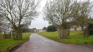
| Killerton Car Park (Free to National Trust members) | |
| Killerton |
| Postcode:EX5 3LE |
Walk 1 Dolbury Hillfort , a Missing Mansion & Columbjohn (2.8 miles)
![]() Difficulty:
Difficulty:![]()
A delightful walk on the edge of Killerton Gardens, given to the National Trust by Sir Richard Acland. It passes the ruins of a lost mansion.
In spring the woods are almost flooded with bluebells and ramsons. Many trees are over 300 years old.The forest itself once enjoyed Roman occupation.
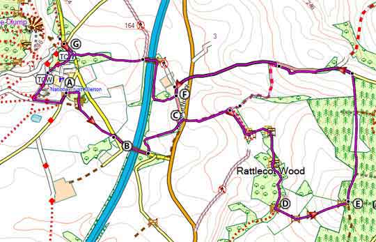
The Walk
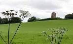
A There is a steady climb to Dolbury Hillfort, dating back to the early Iron Age. Nearby the Romans built a fort.
B One of the most spectacular Viewpoints in the area.
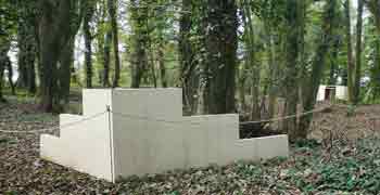
C Ruins of Killerton's Lost Mansion recently discovered and surveyed.
D Turn left then take a few steps and turn right to continue along the back of 'Killerton's Folly', with woods on your right.
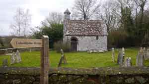
E Columbjohn Chapel built in on the lands owned by the Johannes de Culum.
| What to explore? |
- There once stood a mansion belonging to the Acland family occupied by the Parliamentarians during the civil war. The Aclands moved to Killerton House at the beginning of the 19th century and had their Columbjohn mansion destroyed. In May 2024, this site was unearthed by Exeter university.
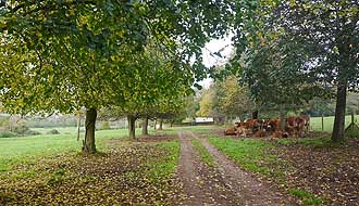
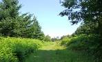
The track from here along the farm can be muddy.
Nearest Pubs:Silverton or Broadclyst.
Download Route
| Download GPX | Mobile or GPS | |
| Download FIT | Watches | |
| Google Earth | ||

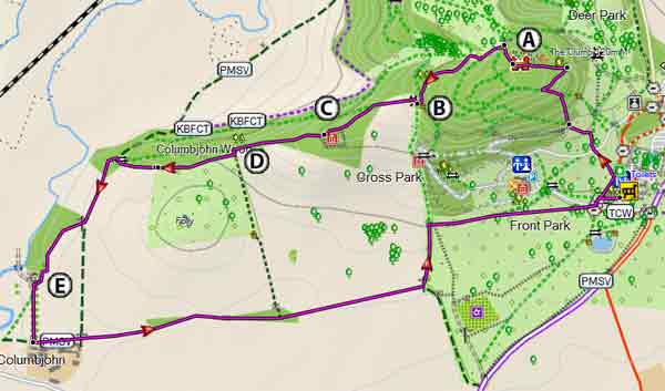
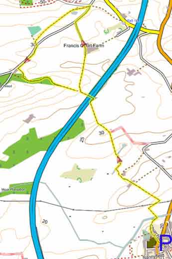
Map of Walk 1
| Walks near Killerton | |
| Broadclyst - Killerton | |
 | Two easy and pleasant circular walks from Broadclyst to Killerton. |
| Ashclyst Forest | |
 | Various easy walks and trails through a forest now maintained by the National Trust |
| Broadclyst Windmill | |
 | Gentle walks towards Broadclyst's windmill. |
terrain: | tracks, paths |
| winter | |
| altitude range | 19 - 72 m |
| quality of track | **** |
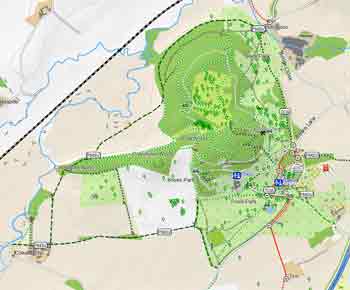
Walk 2 Killerton to Ashclyst (3.5 miles)
![]() Difficulty:
Difficulty:![]()
This most popular walk combines Ashclyst Forest with Killerton.
Check out Killerton to Ashclyst (3.5 miles)
Map of Walk 2
Walk 3 Killerton to Broadclyst (4.2 miles)
Difficulty:![]()
Serenity in a rich rolling landscape.
For more information check out Killerton to Broadclyst
Walk 4 Killerton to Silverton (6.8 miles)
![]() Difficulty:
Difficulty:![]()
A great pub, country and river walk to an idyllic village.
Check out Killerton to Silverton
Nearest café :Stables Café , Killerton