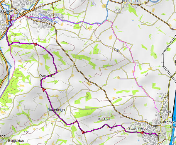
Walk 1 Tiverton to Cullompton (7.3 miles)
Difficulty:![]()
The Tiverton to Cullompton circular trail follows quiet lanes , public footpaths and bridlepaths.
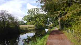
The route begins at Fore Street, follows the Grand Western Canal, then heads south through Ash Thomas, Brithem Bottom, and Pond Farm, passing orchards along the way.
It continues along old green lanes to Cullompton.
There are no pubs en route.
You will need to download the gpx file as the route is not signed. The file is very accurate.
| Download GPX | Mobile or GPS | |
| Download FIT | Watches |
Allow 3.5 hours
Tiverton to Cullompton
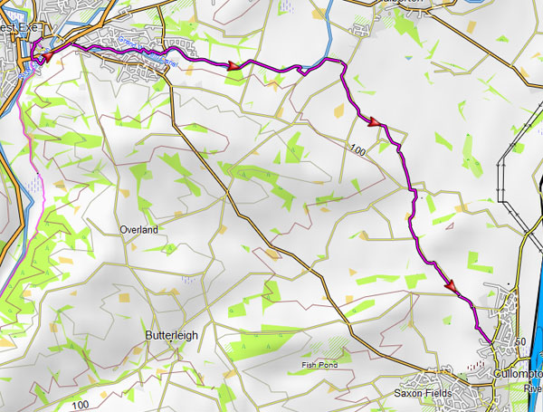
Walk 2 Cullompton to Tiverton (8 miles)
Difficulty:![]()
This stretch uses public footpaths & quiet lanes.
It takes in Butterleigh and follows the river Exe to Tiverton.
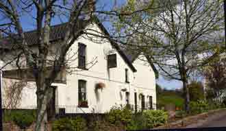
PubButtersleigh
| Download GPX | Mobile or GPS | |
| Download FIT | Watches |
You will need to download the very accurate gpx file as the route is not signed.