Castle Drogo dramatic walks into the past
Three delightful walks near Castle Drogo, Drewsteignton ideal any time of the year!
This impressive 'mock' castle was built between 1910 and 1930 by Lutyens (see Cockington walk) for Julius Drewe who became rich by importing tea.
The house has much to fascinate the whole family including its own telephone and hydro-electric systems - the river was used to provide the electricity!
Several long distance hiking routes follow stretches of both walks.
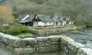
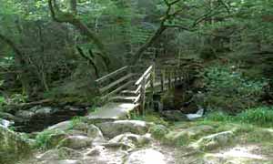
Both walks could start at Fingle Bridge near the pub.
Walk 1
| Walk 1 Popular (4.1 miles) | Time:1h 40 mins |
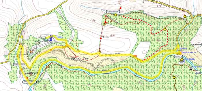 Tap map for larger version | 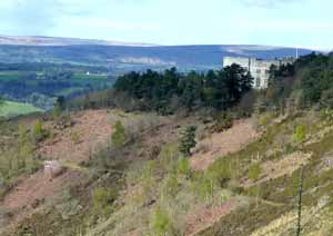 Castle Drogo | |||
Follow the famous Hunters' Path and return at Fingle Bridge via a riverside path, Fisherman's Path. Note:this public path is rocky in parts and can be quite slippery. A hundred years ago Black wrote 'Thus one mounts to the Hunter's Path along the top of the gorge, on this side heather clad and crowned with firs, while the other is mantled with the copsewood of Whyddon Park...The windings of the river make a fine sight from the upper path, on which comes a reputed logan - stone. After following this for a mile one comes into sight of the lonely bridge' Has anything changed?Download KML (follow walk on Google Earth) |
 Fingle Bridge Inn | Castle Drogo, Cranbrook Castle Fingle Bridge | ||
| see main parking area | |||
| GPX for GPS | |||
| Show on Google Earth | |||
| How to view a GPX file | |||
| Walks near Castle Drogo: | ||
 | Chagford. | |
| Superb walks from this bustling Market town exploring the stunning beauty of this part of Dartmoor. | ||
 | Moretonhampstead | |
| Moretonhamstead , gateway to Dartmoor, is an ideal town for walkers to explore the lush edge of the moor. | ||
 | National Trust Walks | |
| These delightful (dog) walks near grand estates or spectacular gardens do NOT require a national trust membership. | ||
Walk 2
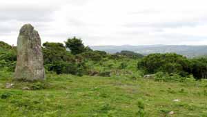
| Walk 2 Cranbrook Castle (5.7 miles) | Time:2h 20 mins |
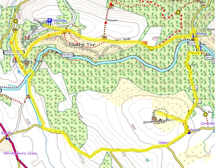 Tap map for larger version | A longer, varied, more strenuous but equally rewarding walk to Cranbrook Castle, an Iron Age hill fort, with it's magnificent panoramic views of Dartmoor and Castle Drogo. There is a steepish climb at Fingle Bridge - see below. | ||
| see main parking area | |||
| GPX for GPS | |||
| Show on Google Earth | |||
Walk 3
| Walk 3 towards Drewsteignton (3.8 miles) without the crowds | Time:1h 40 mins |
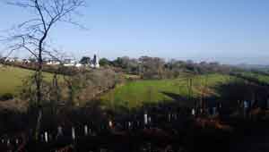 View Of Drewsteignton | 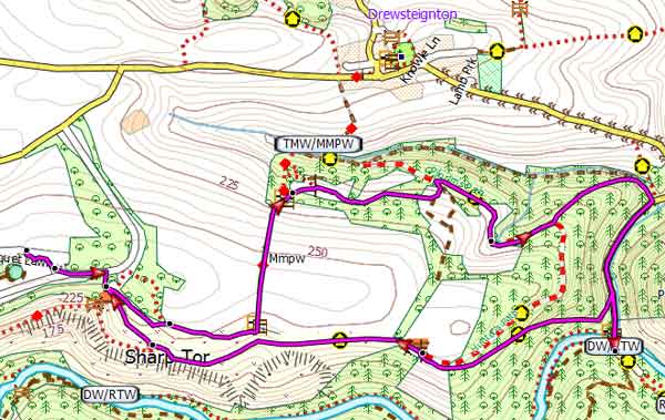 Tap map for larger version | ||
For those who have 'done' the popular walk this quieter route through 'magical' woods & with spectacular views of Drewsteighton.also leads to Fingle Bridge. | |||
| Show on Google Earth | |||
| GPX for GPS | |||
Walk 4
| Walk 4 Chagford to Drogo and back (6.6 miles) | Time:2h 40 mins |
| see main parking area | |||