| Best Devon Walks |
| Best Devon Walks |
| Broadclyst,Killerton & Poltimore |
| 2 TOP Walks |
| Walk 1 | Broadclyst to Killerton |
| 5.2 miles (2h 10) | |
| 10400+ steps | |
| Walk 2 | Killerton, Columbjohn & Poltimore |
| 6.1 miles (2h 30) | |
| 12200+ steps | |
| Nearby |
| Killerton estate (National Trust) | |
| Broadclyst Free Car Park |
| Walk 1 Broadclyst to Killerton (5.2 miles) |
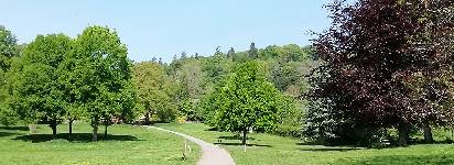
It is a gentle walk through Killerton Estate , ideal for a cup of tea and a browse through the shops and garden centre at Killerton.
Difficulty:![]()
This delightful 5 mile circular hike from Broadclyst to Killerton follows footpaths, tracks and quiet green lanes.
However, be prepared for a boggy stretch which requires sensible footwear.
It returns via Killerton little Post Office, an old mile stone and a new cyclepath.
For walks around KIllerton see Killerton
| Walk 1 | |
terrain: | paths,tracks |
stiles | several |
main roads | 0 % |
wellies | see above |
altitude range | 16 - 40 m |
quality of track | **** |
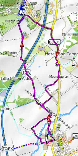
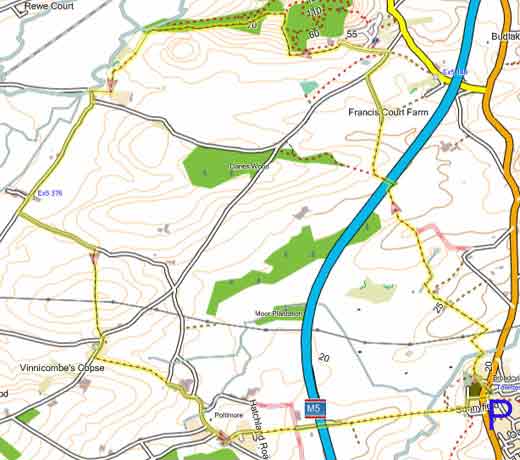
Map of Walk 1
Download Route
| Download GPX | Mobile or GPS | |
| Download FIT | Watches | |
| Google Earth | ||
| Walk 2 Killerton, Columbjohn & Poltimore (6.1 miles) |
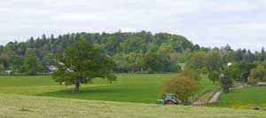
This 6 mile country hike takes you past Killerton House and Columbjohn's chapel and returns via Poltimore.
Difficulty:![]()
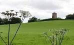
Close nearby, there was also a substantial mansion once belonging to the Acland family.
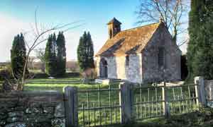
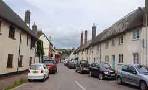
Then, following lanes and paths through rolling landscapes, you arrive at Poltimore, a most picturesque village with it's unusual church.
| Walk 2 | |
main roads | 0 % |
wellies | ** |
altitude range | 16 - 84 m |
Map of Walk 2
Download Route
| Download GPX | Mobile or GPS | |
| Download FIT | Watches | |
| Google Earth | ||
Broadclyst Free Car Park |

There is one steep climb at Killerton.
| Walks nearby |
| Broadclyst |
 |
| Enjoy an easy (pub) walk to Broadclyst's derelict windmill |
| Silverton |
 |
| Various popular walks from one of Devon's oldest villages, boasting an oak tree almost 1000 years old. |
| (©) Pinns UK |
