| Best Devon Walks |
| Best Devon Walks |
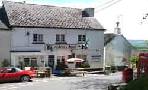
| Best Bovey Tracey Walks |
| 4 TOP Walks |
| Walk 1 | River Walk |
| 3.1 miles (1h 20) | |
| 6200+ steps | |
| Walk 2 | Revised trail through Parke Estate |
| 2.4 miles (1 hour) | |
| 4800+ steps | |
| Walk 3 | Little Bovey |
| 4.3 miles (1h 50) | |
| 8600+ steps | |
| Walk 4 | to Lustleigh |
| 6.8 miles (2h 50) | |
| 13600+ steps | |
| Nearby |
In the 13th century. the Tracey family kept a farm on the Bovey.
| What to explore? |
| Best Woodland Walks in Devon | |
| See Below |
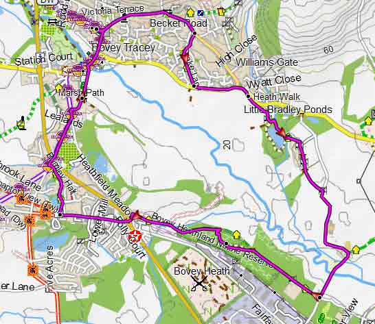
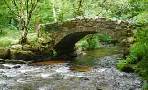
| Walk 1 River Walk (3.1 miles) |
Difficulty: ![]()
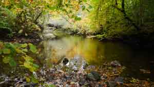
An easy and popular walk from Bovey Tracey's main Car Park along the river Bovey and a disused railway returning via footpaths.
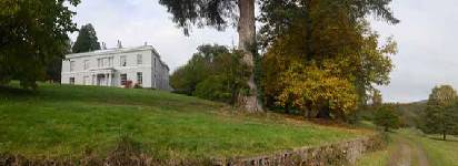
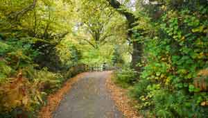
There is an option to visit Home Farm Cafe, on the National Trust Parke estate -see Parke Walled Garden on map.
| Home Farm Cafe , Parke Estate |

Map of Walk 1
Download Route
| Download GPX | Mobile or GPS | |
| Download FIT | Watches |
| Walk 2 Revised trail through Parke Estate (2.4 miles) |
Difficulty: ![]()
This popular and fairly easy walk follows well maintained footpaths through the Parke estate, near Bovey Tracey, now belonging to the National Trust.
The Walk
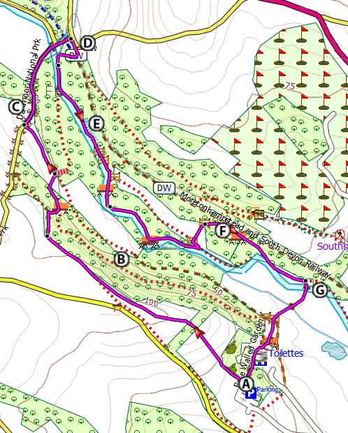
A At entrance of Car Park facing the way you came turn right on a path along the fence.
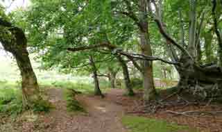
BContinue following a permissive path parallel to a lane. This becomes a public footpath ; continue through woods.
C Turn right at lane and descend to river.
D Continue under disused railway bridge and turn right then right again onto a public footpath.but go up embankment then descend to the River Bovey.
E Do not cross river but continue along the river.
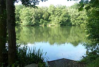
FRecently an area has been cleared with a circular bench!
G After 0.8 miles follow track right to cross river and return to car park (& cafe).
There is also a walled garden, currently under restoration , an orchard with 150 historic Devon cider apple trees and a medieval weir on the meandering Bovey feeding a fishpond and mill in the village of Bovey Tracey.
| Walk 2 | |
terrain: | tracks ,paths |
| country lane | |
main roads | 0 % |
after rain | |
altitude range | 34 - 106 m |
quality of track | **** |
stiles | 2 |
Map of Walk 2
Download Route
| Download GPX | Mobile or GPS | |
| Download FIT | Watches | |
| Google Earth | ||
| National Trust Car Park at Parke on B3387 nr Bovey Tracey - Free to Members (bring card) |
| Walk 3 Little Bovey (4.3 miles) |
Difficulty: ![]()
This easy & pleasant 4.5 miles walk takes you South East to Little Bovey.
Map of Walk 3
Download Route
| Download GPX | Mobile or GPS | |
| Download FIT | Watches | |
| Google Earth | ||
| (free) along Coombe Close, Bovey Tracey |
| Walk 4 to Lustleigh (6.8 miles) |  | |
| MAP |
Difficulty: ![]()
Check out a longer but most enjoyable pub walk to Lustleigh.
| Home Farm Café |  |
| Walks near Bovey Tracey |
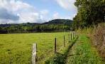
| Stover Park |
 |
| Enjoy easy family walks through this beautiful park. |
| Hennock |
 |
| A great pub walk with ancient tracks & signs of pre-Victorian rock mining as you walk through the bluebell woods. |
| Haytor |
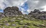 |
| There is much more to Haytor than a steep climb to the Tor and back again! Two very popular and fairly easy walks in search of a lost village. |
| Lustleigh |
 |
| Delightful walks from a very picturesque village into a most unspoilt and dramatic part of Devon . |
| Liverton |
 |
| Great walks from a quiet village on the edge of Dartmoor following part of the Dartmoor Way. |
| Tottiford Reservoir |
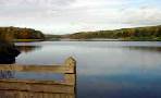 |
| Great picnic walks around a peaceful reservoir where Time Team in 2010 made some unique finds. |
| (©) Pinns UK |
