Buckfastleigh to Totnes Trail
This trail links the Darmoor Way & Abbots Way with the John Musgrave Heritage Trail enabling you to walk from Tavistock to Torquay following long distance hiking routes.
 | South Devon Railway Old Bridge at Staverton Dartington Cider Press |
 | Pay & Display Buckfastleigh Pay & Display Totnes |
Distance: 8 miles
Difficulty:

The Buckfastleigh to Totnes trail follows mainly quiet lanes, public footpaths or bridlepaths.
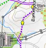
The route runs through Staverton.
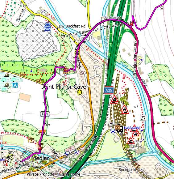
The revised start now follows the Old Totnes Road which joins a busy A384.Turn right & follow road for 100 m then take footpath on left, slightly hidden.
You will need to download the gpx file as the route is not signed but is shown as purple on our free map
You can take the number 88 bus from Buckfastleigh to Totnes.
PubSea Trout Inn , Staverton near church
Cafes: Dartington Cider Press
Allow 4 hours
length: | 8 miles |
time: | 3 hr 30 mins |
terrain: | tracks bridle/ paths |
| lanes | |
main roads | 0 % |
 | after rain |
altitude range | 10 - 150 m |
Download Route
| Download GPX | Mobile or GPS | |
| Download FIT | Watches | |
| Google Earth | ||