Bruton Walks | a delightful historic town |
| Walk 1 (1 mile) | Walk 2 (1.7 miles) | Walk 3 (3.2 miles) | Walk 4 (7.5 miles) | |
| Town Walk | Dovecot Walk | Wyke Champflower | Castle Cary |
Three pleasant short walks through this charming historic town known for its public schools.
| Between Quaperlake Street and Patwell Lane. | |
| Near Church | |
| SATNAV Postcode:BA10 0EH |
Walk 1 Town Walk (1 mile)
Difficulty:![]()
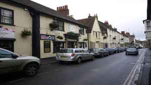
This easy & pleasant town trail is about a mile, taking around 30 minutes.
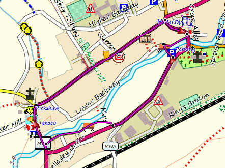
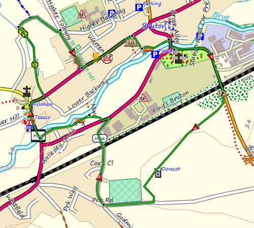
Map of Walk 1
FREE HIKING MAP of South West
- More up to date than OS maps
- Designed for Walkers & Hikers
- PRINT YOUR OWN WALK IN DEVON!
No Login or Membership required!
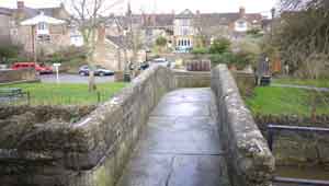
Walk 2 Dovecot Walk (1.7 miles)
Difficulty:![]()
This short walk (1.7 miles, 50 mins) leads to an old Dovecot. This bit can be muddy after heavy rain.

Download Route
| Download GPX | Mobile or GPS | |
| Download FIT | Watches |
Walk 3 Wyke Champflower (3.2 miles)
Difficulty:![]()
This walk follows lanes, public foot paths and part of the Macmillan Way, a long distance hiking route from Boston to Abbotsbury created to raise money for the Macmillan Cancer Relief charity.
It includes two climbs.
Some stretches can be muddy after heavy rain.
Download Route
| Download GPX | Mobile or GPS | |
| Download FIT | Watches |
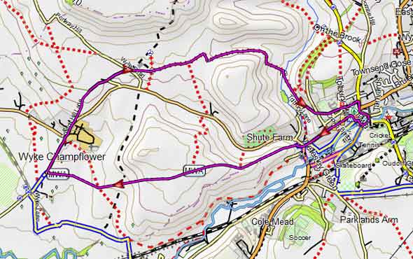
Map of Walk 3
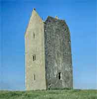
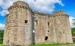
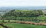
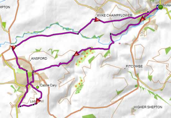
Walk 4 Castle Cary (7.5 miles)
This pleasant & popular circular walk follows the Macmillan Way West , a long distance hiking route, to Castle Cary
Here there is an option to explore the castle - see map . Allow for an extra 2 miles.
Download Route
| Download GPX | Mobile or GPS | |
| Download FIT | Watches |
Walk 4 to Castle Cary