Upottery Walk on the edge of the Blackdown Hills
Walk 1
| Distance:4.6 miles | Time:2h |
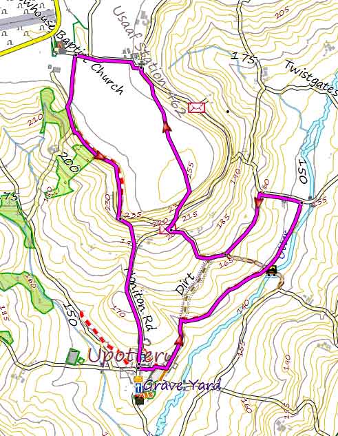 Tap map for larger version | 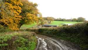 Old Track To The Otter | |||
Upottery boasts one pub :The Sidmouth Arms This pleasant walk on the edge of the Blackdown Hills can be quite muddy after heavy rain fall; so wellies are recommended. It follows an old track and footpath to the Otter which eventually leads to a country lane. Turn left then left into a track. The walk steadily climbs towards what used to be called Upottery Airport (Smeatharpe) - you pass a brick memorial to the USAAF Station 462. From here, follow a lane towards the now disused airport . Just before a chapel (150 m) turn left into a public footpath which takes you back to Upottery. If you want to see the disused airport continue along the lane until you reach a T junction. Ahead, you will notice the airport and an old control tower. |
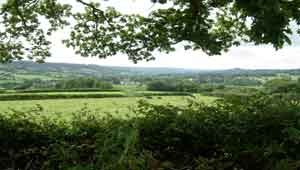 Upottery In Distance | River Otter , USAAFmemorial | ||
| Upottery | |||
| GPX for GPS | |||
| Show on Google Earth | |||
| How to view a GPX file | |||
| Walks near Upottery: | ||
.jpg) | .jpg) | |
| Dunkeswell | Honiton | |