| Best Devon Walks |
| Best Devon Walks |
| Best Luppitt Walks |
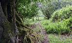
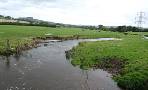
We recommended you follow the walk on your mobile/gps as certain stretches along public footpaths are not clearly marked and boggy throughout the year!
The name means Lufa's Pit
Walk 1 Luppitt to Turfhouse (3.1 miles)
Difficulty:![]()
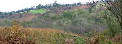
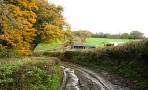
This invigorating walk starts in Luppitt and climbs steadily to its highest point, Turfhouse, following meandering public footpaths and quiet lanes.
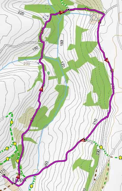
Map of Walk 1
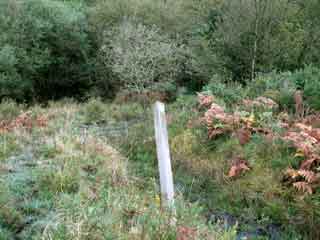
During the winter wellingtons are essential.
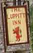
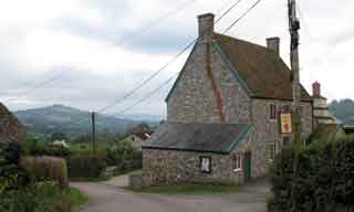
The Luppitt Inn has been named one of Britain's smallest pubs ; it is currently run by the a 98 year young landlady serving only one beer , the Otter bitter. and is only open on certain evenings, including the weekend.
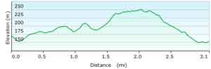
There are several steady climbs.
Although the distance is only 3.1 miles , allow for 2 hours due to a small strenuous stretch.of peaty soils.
Download Route
| Download GPX | Mobile or GPS | |
| Google Earth | ||
| Walks near Luppitt |
| Smeatharpe |
 |
| Solitary Woodland and Moorland walks near a WW2 airfield with a free heritage centre |
| Dunkeswell |
 |
| Three popular walks including a rewarding but somewhat strenuous ramble to the ruins of an old abbey . |
| Honiton |
 |
| Check out all popular walks from a historic town known for its lace and market. |
| Upottery |
 |
| A lovely country walk towards what used to be called Upottery Airport (Smeatharpe). |
| (©) Pinns UK |
