| Best Devon Walks |
| Best Devon Walks |
| Best Exeter Green Circle Walk |
|
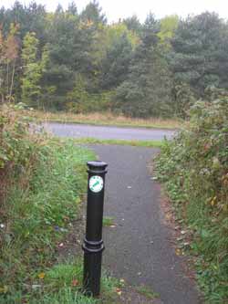
| Green Circle Sign |
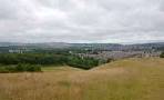
| See Exeter's landmarks from a distance |
| Exeter Car Parks |
Distance: 12.5 miles
The Green Circle in Exeter is a walking and cycling route that weaves around the city's five valley parks.The route is well-marked with a green and white circle symbol.

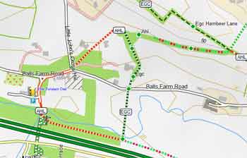
Map of Walk 1
Difficulty:![]()
Some major roads will need to be crossed - most have a pedestrian crossing with lights.
If the distance of almost 13 miles is somewhat daunting , you may wish to only do part of it and use the bus to return to your starting point.
The route is well signed.
Barley Valley can be muddy - see map |
| Follow light green arrow on white disc. | 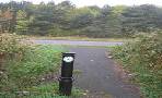 |
It seems to avoid pubs but one is worth mentioning on the outskirts of Exeter ; it is ten minutes off the main route.
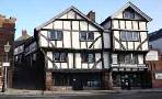
![]() The Twisted Oak (Balls Farm Road)
The Twisted Oak (Balls Farm Road)
Free Map of Devon for Walkers
The green circle also appears on our free Walker's Map of Devon.
For more information click here.
Download Route
| Download GPX | Mobile or GPS | |
| Download FIT | Watches | |
For more 'hiking' routes in Devon click here.
length: | 12.5 miles |
terrain: | tracks paths |
| lanes | |
main roads | 0 % |
stiles | several |
| Walks in Exeter | ||
 | ||
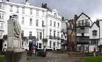
| Historic Exeter | ||
 | ||
| Exeter Woollen Trail | ||
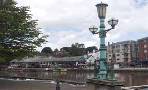 | ||
| Exeter Canal | ||
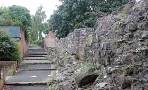 | ||
| Roman Wall | ||
 | ||
| Ludwell Valley Park | ||
| (©) Pinns UK |
