| Best Devon Walks |
| Best Devon Walks |
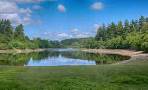
| Best Doddiscombsleigh Walks |
| 4 TOP Walks |
| Walk 1 | Village Walk |
| 0.5 miles (20 mins) | |
| 1000+ steps | |
| Walk 2 | Windy Cross |
| 3.6 miles (1h 30) | |
| 7200+ steps | |
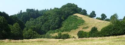
| Walk 3 | Haldon Belvedere |
| 6.1 miles (2h 30) | |
| 12200+ steps | |
| Walk 4 | Christow to Doddiscombsleigh |
| 8.1 miles (3h 20) | |
| 16200+ steps | |
| Nearby |
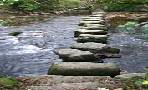
It's believed that Doddi was a Saxon landowner who settled in a clearing (leigh) of the forest.
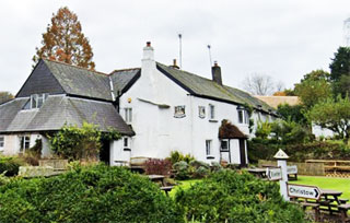
Parking in this village , locally referred to as 'Doddy' , is virtually impossible unless you are planning to visit the well known Nobody Inn, which once served as a church house.
The area south of the village was well known historically for its mining activities.
| Village of Doddiscombsleigh Haldon Belvedere | |
| Nobody Inn | |
| Nobody Inn Car Park | |
| Postcode:EX6 7PR |
| Walk 1 Village Walk (0.5 miles) |

Difficulty:![]()
A short but varied village walk following an old stream.
Map of Walk 1
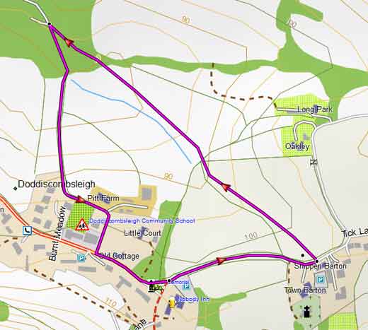
| Walk 2 Windy Cross (3.6 miles) |
Difficulty:![]()
This popular walk takes in a steep climb to Windy Cross at the top of Haldon.
It follows public footpaths and lanes.
Allow for 2 hours.
The Walk
AWith back to Nobody Inn Car Park , turn Left towards school ignoring lane on left.
Just before the school, turn Right in to a small lane which curves around the school.
At end of lane,continue along track through wooded area.
Follow track until T junction.
BCross lane onto public footpath.
Continue along this footpath for 1 mile – a steady climb with some muddy stretches.
CAt T junction, turn Right onto lane and continue for another mile ignoring any lanes on your right.
DAfter the second lane on left , turn Right onto a public footpath.
Follow path (Timridge Lane) down hill.
EAt the end of the foot path at Sexton’s Cross, ignores lanes to left or right but follow lane ahead along a farmyard and continue descending towards Doddiscombsleigh.
FWhen you reach a residential area, after almost a mile,bear Right and head back to the Nobody Inn.
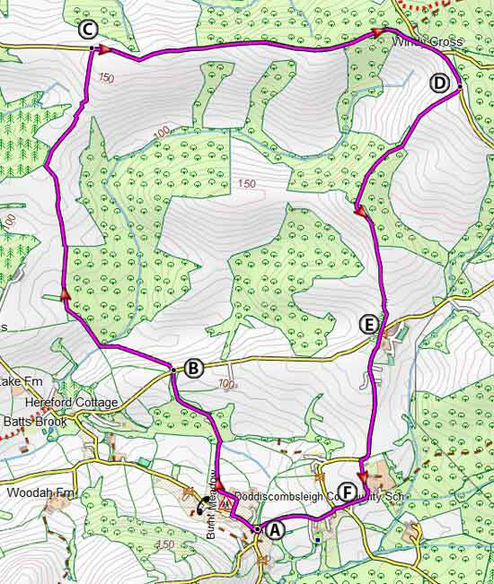
Map of Walk 2
Download Route
| Download GPX | Mobile or GPS | |
| Download FIT | Watches |
| Walk 3 Haldon Belvedere (6.1 miles) |
Difficulty:![]()
This delightful but strenuous pub walk includes some steep climbs and descents but is rewarded with spectacular views and a cycle free Haldon Forest.
The walk passes Higher Ashton with its charming 15th century church.
Haldon Belvedere , also known as St Lawrence Tower, is not open to the public.
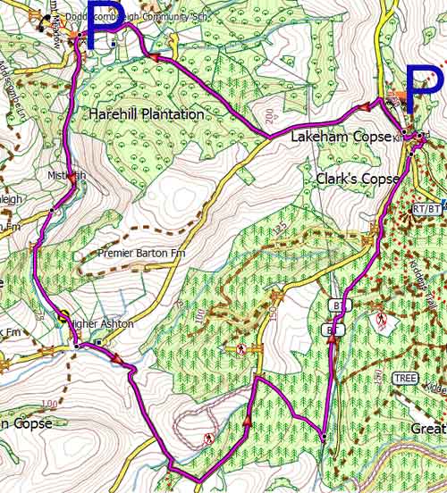
Map of Walk 3
Download Route
| Download GPX | Mobile or GPS | |
| Download FIT | Watches | |
| Google Earth | ||
| Nobody Inn Car Park or near Haldon Belvedere |
| (©) Pinns UK |