| Best Devon Walks |
| Best Devon Walks |
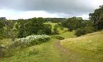
| Coleridge Link Trail |
| Coleridge ; Remote Countryside |
Distance: 9 miles
Difficulty:![]()
The route includes several steep climbs and primarily follows public footpaths and tracks, with occasional stretches along quiet country lanes."
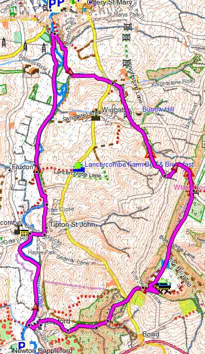
Map of Walk 1
Not to be confused with the Coleridge Way, in North Devon/Somerset.
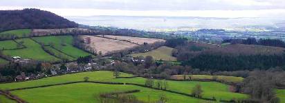
The trail takes in Ottery St Mary, Tipton St John, Harpford, Hollow Head Cross and White Cross.
length: | 9 miles |
terrain: | tracks bridle/ paths |
| lanes | |
main roads | 0 % |
altitude range | 39 - 235 m |
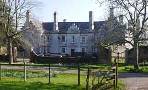
Ottery St Mary The best option is the Main Pay & Display Car Park |
| Walks nearby |
 |
| Ottery St Mary |
 |
| Sidbury |
| (©) Pinns UK |
