Montacute Walks |
An attractive village with many buildings showing off the unique red colour of Ham stone.
The name from Norman French mean:a pointed hill.
| What to explore? |
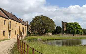
- Montacute House (National Trust)
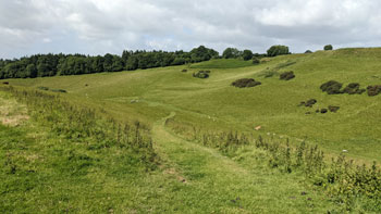
- Ham Hill. Country Park
- St Michael's Folly & Castle
| Prince of Wales, Stoke sub Hamdon | |
| Free Car Park Castle Hill on outskirts of Village |
| SATNAV Postcode:TA15 6UU |
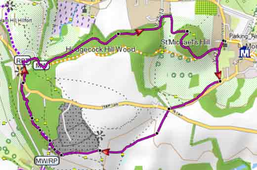
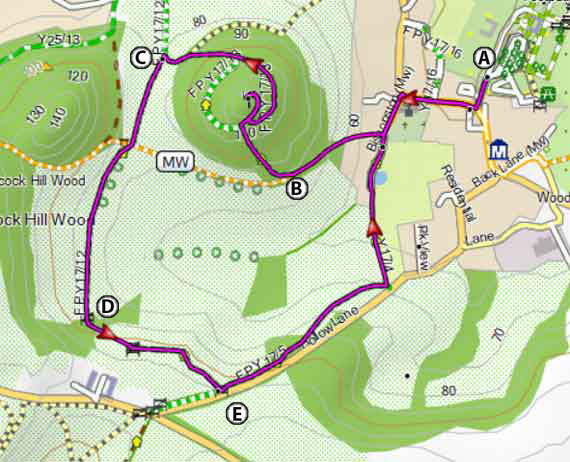
Walk 1 St Michael's Hill (2 miles)
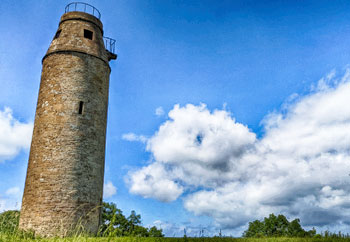
An enjoyable but strenuous short walk to St. Michael's Hill with its 18th century tower built on a ground where once stood a Norman Castle and years later a 12th century chapel.
A Walk along Middle Street towards St Chatherines Church and the Kings Arms pub .
Just before the pub, left turn in to Bishopston.
At the end of the church yard take path on right.
B After 150m use steep path on right. Where the path splits turn right to take you to the old signal tower built from red coloured Ham stone only found locally.
Retrace steps and take path left encircling the mound.then descend .
C At the junction with another path turn left and continue heading South.
After 150 m , at the junction with another path, continue in southerly direction.
D Cross two stiles then just before Hollow lane in a wooded area turn left and continue along this public footpath parallel to the lane.
E Where it joins the lane either follow the lane back to Montacute or take footpath heading North and back to the village.
Difficulty:![]()
| FIT Route for Smart Watch / Mobile | |

| National Trust Car Park |
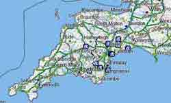
FREE 2020 HIKING MAP of UK South West
- More up to date than OS maps
- Designed for Walkers & Hikers
- PRINT YOUR OWN WALK IN DEVON!
No Login or Membership required!
Walk 1
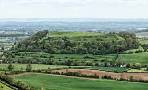
Walk 2 Ham Hill (5.7 miles)
Difficulty:![]()
This very popular pub walk combines Witcombe valley, teeming with wild life, The Prince of Wales Pub and St Michaels' Hill Tower.
It follows public footpaths , bridleways and quiet lanes.
After heavy brain some stretches can be quite muddy.
Download GPX route for GPS / Mobile
Download FIT route for Smart Watch / Mobile
| How to view a GPX / FIT file |