| Best Devon Walks |
| Best Devon Walks |
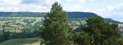
| Best West Hill Circular Walks |
| 4 TOP Walks |
| Walk 1 | West Hill short walk |
| 1.5 miles (40 mins) | |
| 3000+ steps | |
| Walk 2 | Venn Ottery Common |
| 1.4 miles (40 mins) | |
| 2800+ steps | |
| Walk 3 | Tipton St John |
| 4.7 miles (2 hours) | |
| 9400+ steps | |
| Walk 4 | West Hill to Ottery St Mary |
| 7.9 miles (3h 20) | |
| 15800+ steps | |
| Nearby |
| Venn Ottery Common | |
| No pubs in West Hill | |
| Bendarroch Rd West Hill Walk 3 see below |
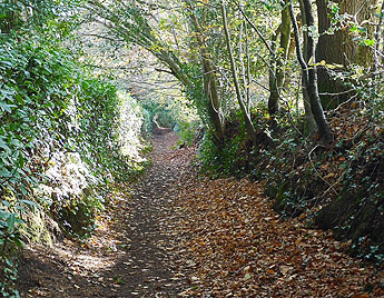
| Walk 1 West Hill short walk (1.5 miles) |
Difficulty:![]()
This easy but very pleasant walk is now fully up to date as it incorporates recent changes to one of the foot paths.
| Bendarroch Rd West Hill |
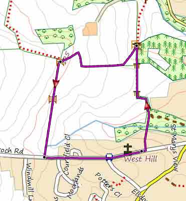
Map of Walk 1
| Walk 2 Venn Ottery Common (1.4 miles) |
Difficulty:![]()
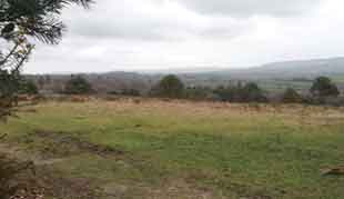
This delightful short walk explores Venn Ottery Common , now a nature reserve owned by the RSPB.
The heath is of national importance for many rare and threatened species.
The route offers extensive views and a varied landscape.
It follows public bridle and foot paths.
Paths can be muddy after heavy rain.
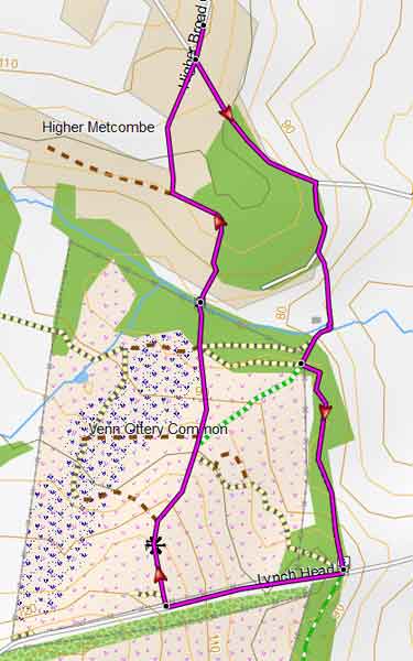
Map of Walk 2
Download Route
| Download GPX | Mobile or GPS | |
| Download FIT | Watches | |
| Google Earth | ||
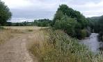
| Walk 3 Tipton St John (4.7 miles) |
Difficulty:![]()
Difficulty:![]()
| The Golden Lion, Tipton St John |
A nice relaxing 5 mile (pub) hike with great views descending gently to the river Otter.
Turn right when you join a (sometimes busy!) lane at Fluxton then after 150m turn left into a track. This links up with the old railway line between Exmouth and Sidmouth Junction. Thurn left then after 1090m turn right onto a path leading you to the river.
Turn right then after a while cross a footbridge.
Cross bridge e and follow a public footpath to Tipton St John.
The route continues using bridleways and tracks then returns via Venn Ottery Common.
Map of Walk 3
Download Route
| Download GPX | Mobile or GPS | |
| Download FIT | Watches |
| Higher Broad Oak Road, near junction with Aylesbeare Road |
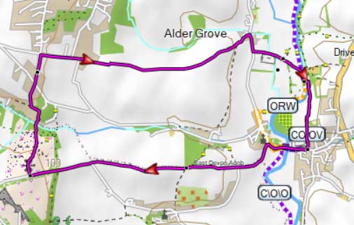
| Walk 4 West Hill to Ottery St Mary (7.9 miles) |  | |
| MAP |
Difficulty:![]()
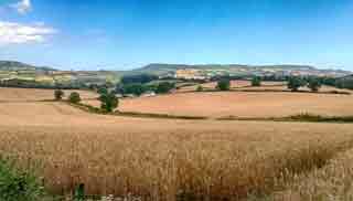
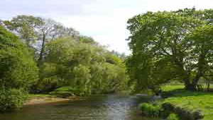
This long but delightful and most popular walk initially following peaceful green lanes (Toadpit Lane & Birdcage Lane) offers many beautiful views and takes you along the tranquil banks of the Otter.
At Birdcage you follow an ancient perhaps pre-Roman track with spectacular views of Hembury Castle .
It wasn't so peaceful on July 17th 1980 when the pilot of Viscount had to make an emergency landing in a field near the dismantled railway; thanks to his skill and local knowledge the only casualties were two sheep.
Download Route
| Download GPX | Mobile or GPS | |
| Download FIT | Watches | |
| Google Earth | ||

There is one steep climb.
| Walks near Westhill |
| Ottery St Mary |
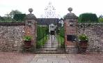 |
| This easy and varied walk crosses Knightstone estate - the private Manor is one of the best preserved medieval houses in Britain - and returns along the Otter. |
| Tipton St John |
 |
| Various popular river walks from a village with a great pub. |
| (©) Pinns UK |
