| Best Devon Walks |
| Best Devon Walks |
| Best Exeter Woollen Trail Walk |
|
| Meeting Place For Guided Tours |
| Guildhall, St Nicholas Priory, Tuckers Hall, Old Exe Bridge, Exe Island, the Quay |
![]() Difficulty:
Difficulty:![]()
Distance: 2 miles
| Best Devon Town Trails |
This short walking trail ,produced by Exeter City Council, explains how Exeter became such a thriving and wealthy city by the late 16th century.
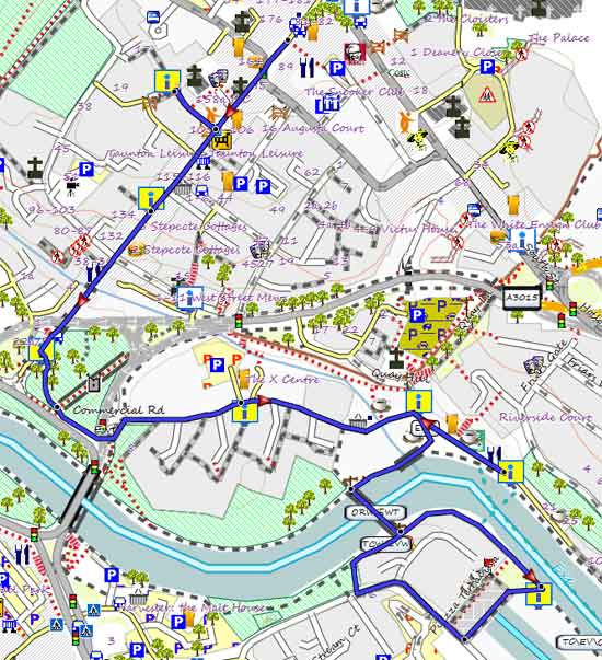
Map of Walk 1
The trail starts officially at the Guildhall, High Street and includes 8 Information boards dotted along the route - see yellow rectangles on our map.
It ends the far side of the river, however, our GPX route includes an interesting route to return to the Guildhall.
Exeter's popular RED Coats do free guided tours - check here for details
| Board | ||
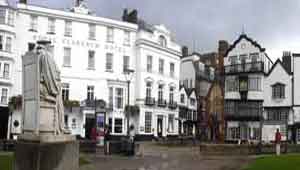
| 1 | Guildhall |  |
| 2 | St Nicholas Priory | 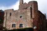 |
| 3 | Tucker's Hall |  |
| 4 | Exe Bridge |  |
| 5 | Exe Island | 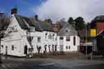 |
| 6 | Quayside |  |
| 7 | Warehouses |  |
| 8 | Canal |  |
Download Route
| Download GPX | Mobile or GPS | |
| Download FIT | Watches | |
| Google Earth | ||
length: | 2 miles |
time: | 1 hour |
| Walks around Exeter | ||
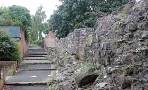 | ||
| Roman Wall | ||
 | ||
| Tommy Cooper Trail | ||
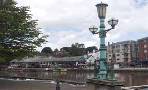 | ||
| Exeter Canal | ||
| (©) Pinns UK |
