
Poly Editor Part 1
Poly files are used by Splitter ; they allow you to select your own map area(s) more precisely.
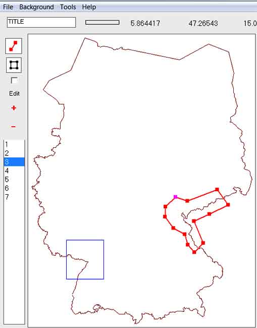
Poly Editor displays all the polygons contained in a file. These you can edit separately.
 |
 |
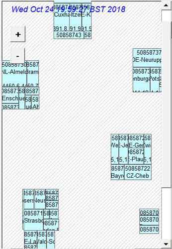
| Split using own poly file | As show on Basecamp/Mapsource |
Create your own poly files
|
 |
Import & Edit Poly Files
Import a poly file and change the shape of all the areas it contains
Import GPX files and save as a poly file
Import a GPX file and convert it to a poly file.
Create GPX files in Basecamp/Mapsource and import ( as a background) into Poly Editor.
Combine Poly Files
Select your poly files and combine them as one poly file.
Convert POLY to GPX
From the main menu go Tools,Convert to GPX.
Poly files with multiple areas: Select area then convert to GPX
Mapuploader 6
 |