|  |  |  |  |
Bude Walks | along a historic canal and beautiful coastline |
| Select Your Walk | Walk 1 (5.7 miles) | Walk 2 (4.2 miles) | Walk 3 (3.6 miles) |
| Canal & coastline | Canal and Coast | Bude Canal |
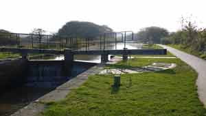
Bude's canal was built to transport sand rich in natural fertilisers to East Cornwall - this work had previously been done using wagons pulled by packhorses and mules.
Tub boats were used as they could be winched up or down avoiding the need for locks.
The name ,it is said, means Beetle.
 | Canal |
 | Coastline |
 | Numerous Pubs in Bude |
 | The Crescent Car Park Bude nr Information Centre |
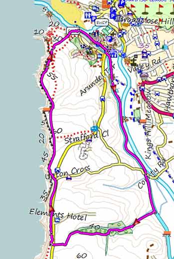
Walk 1 Canal & coastline (5.7 miles)
Difficulty:

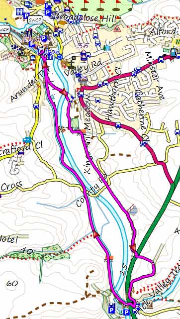
This most popular walk follows part of Bude's historic canal via the Weir,a restaurant overlooking a lake full of wildlife.
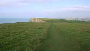
It returns following the South West Coast Path with stunning views of the coastline. The route includes some climbs and descents.
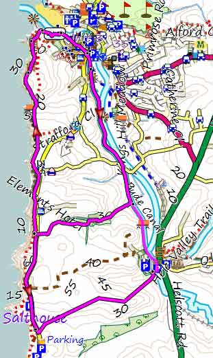
length: | 5.7 miles |
time: | 2 hr 20 mins |
Download GPX route for Mobile/GPS
Download FIT route for Watches / GPS
 | How to view a GPX/FIT file |
Walk 2 Canal and Coast (4.2 miles)
Difficulty:
As walk 1 but shorter and crossing Whalesborough Woods - some stretches may be muddy after heavy rainfall.
It includes a steady climb and quite a steep descent.
Download FIT for Watches / GPS
Walk 3 Bude Canal (3.6 miles)
Difficulty:

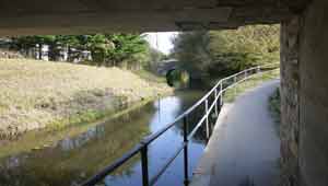
An easy family & dog walk along the relaxing Bude Canal returning via the Weir Restaurant and Helebridge following lanes and a cycle path.
download FIT for Watches / GPS
 |
| FREE 2023 SOUTH WEST HIKING MAP |
|
No Login or Membership required!