Cranbrook Walks exploring a region much visited by the Romans
It is incredible to think that not long ago Cranbrook was just fields.
Walk 1
| Walk 1 Getting to know Cranbrook (1.6 miles) | Time:40 mins |
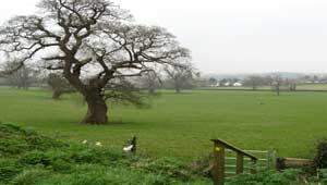 Rockbeare Footpath |  Tap map for larger version | ||
| Roman Road | |||
| see main parking area | |||
An ideal (dog) walk to explore the paths surrounding Cranbrook - allow 40 mins. | |||
| How to view a GPX file |
| Walks near Cranbrook: | |||
.jpg) | .jpg) | .jpg) | |
| Rockbeare | Broadclyst | Whimple | |
Walk 2
| Walk 2 Easy to Rockbeare (2.5 miles) | Time:50 mins |
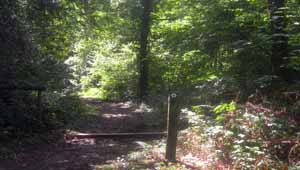
Rockbeare Footpath |  Tap map for larger version | ||
This easy walk explores recently opened paths and the new road to Cranbrook Education Campus and Broadclyst ; just before the school the turn right into an old lane which leads to the old roman road between Exeter and Dorchester. Cross over with care , turn left and near the vet follow the footpath on your right across a field to Rockbeare meaning 'a group of trees for Rooks'. If you happen to be passing the When you join the residential road, turn right, cross the bridge and at the triangle bear right past the Post Office into Parsons Lane. Follow this back to Cranbrook. Unfortunately the walk is not suitable for prams or young children. | |||
| Show on Google Earth | |||
| GPX for GPS | |||
Walk 3
| Walk 3 Cranbrook to Ashclyst Forest (8 miles) | Time:3h 20 mins |
 | 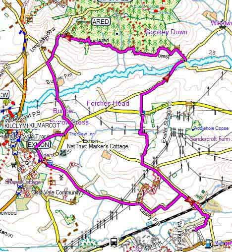 Tap map for larger version | ||
Starting near the new school, this pleasant 3 hour walk takes you past a solar farm into Ashclyst Forest using public and permissive footpaths avoiding as far as possible busy lanes. As you skirt Ashclyst Forest using the 'blue trail' there are some magnificent views of Broadclyst and beyond. It returns via the See walk 2 on Google Earth | |||
| Show on Google Earth | |||
| GPX for GPS | |||