| Walk 1 (2.7 miles) | Walk 2 (3.2 miles) | |
| Salcombe to Sharp Tor | Bolt Head |

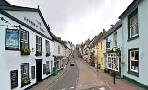
South Sands makes an ideal centre for walking to enjoy stunning views of Devon's most dramatic coastline.
| spectacular views of Devon coast line |
| Combe denotes a valley with green fertile pastures and steep uncultivated sides. Sal refers to salty | |
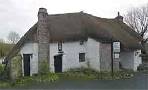
| There are several pubs in Salcombe but none en route | |
| Salcombe North Sands |
| SATNAV Postcode:TQ8 8LD |
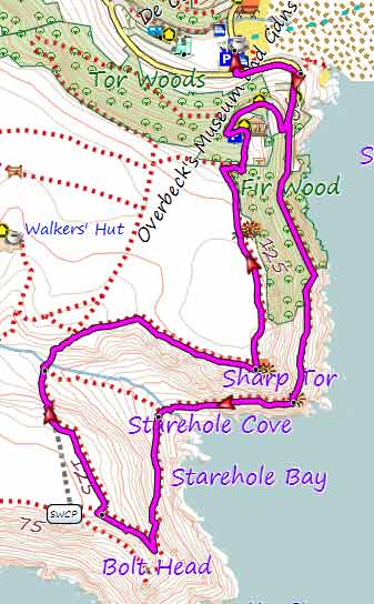
Walk 1 Salcombe to Sharp Tor (2.7 miles)
Difficulty:![]()
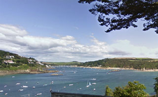
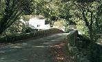
This popular walk starts in Salcombe North Sands Car Park and follows the South West Coast Path along jagged rocks to Bolt Head with extensive views of Devon's coast line and the English Channel.
In 2009 a shipwreck was found dating back to the bronze age ; it's cargo included a bronze sword, gold bracelets and tin & copper ingots.
The tea clipper, the Hertzogin Cecelie, was also wrecked nearby.
There is one steady climb and descent.
length: | 2.7 miles |
time: | 1 hr 20 mins |
| stiles | several |
| Routes | |
| Download FIT for Watches / GPS | |
| See on Google Earth | |

| spectacular views of Devon coast line |
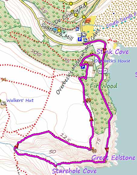
Map of Walk 1
| Walks near Salcombe | |
| Bigbury & Burgh Island | |
 | Three delightful pub walks with spectacular views of Bigbury Bay. Explore Burgh Island and its hotel made famous by Agatha Christie. |
| Noss Mayo | |
 | Two Best Walks with superb coastal views. |
| Yealmpton | |
 | Two great walks from a village that boasts Old Mother Hubbard's Cottage! |
| Loddiswell | |
 | Best walks through the Avon valley. |
| Modbury | |
 | Two great walks from Modbury, a historic market town known for its enchanting individual shops |
Walk 2 Bolt Head (3.2 miles)
Difficulty:![]()
A walk great views of the coastline similar to the first walk but longer.
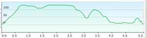
There is one steady climb and descent.
For more information on downloads of long distance hiking routes in Devon click here.
Download GPX route for Mobile / GPS
Download FIT route for Watches / GPS
Map of Walk 2