Best Butterleigh Walks | exploring a tranquil & unspoilt landscape |
| Select Your Walk | Walk 1 (1.8 miles) | Walk 2 4.9 miles) | Walk 3 (9.1 miles) | |
| Butterleigh Trail | Beacon & Horridge Moor | Brookland |

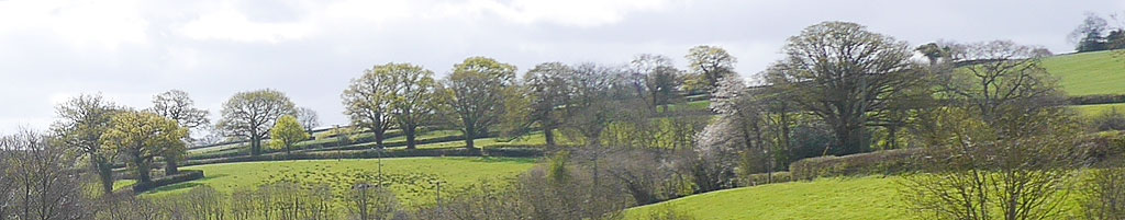
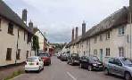
A small village south of Tiverton known for its pub and the Burn Valley nearby.
Butterleigh:'Green pastures for Butter'.
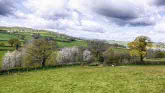
The area around Butterleigh is quite hilly and at times damp.:expect some climbs and descents.
| What to explore? |
- St Matthew Church
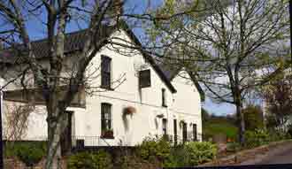
| Butterleigh Inn | |
| Small car park Village Hall opposite pub | |
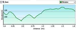
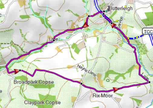
Walk 1 Short Circular (1.8 miles)
Difficulty:![]()
This pleasant walk exploring the rolling landscape around the village follows lanes, footpaths and bridleways.
The route includes a steady climb.
| Routes | |
| FIT for Watches / GPS | |
| Show on Google Earth | |

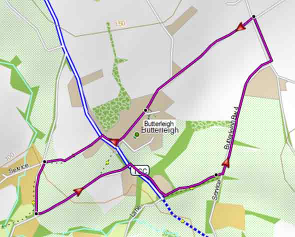
Map of Walk 1
| Walks near Butterleigh | |
| Bickleigh | |
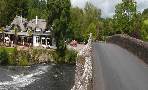 | Bickleigh is known for its bridge across theExe (allegedly made famous by Simon and Garfunkel) its 15th century castle, an old mill, a Railway Centre and two popular pubs. You have a choice of 3 top walks! |
| Tiverton | |
 | Various options including a delightful canal walk - you may meet a shire horse pulling a barge! |
| Silverton | |
 | Three great walks from one of the oldest villages in Devon. It features an oak tree almost 1000 years old. |
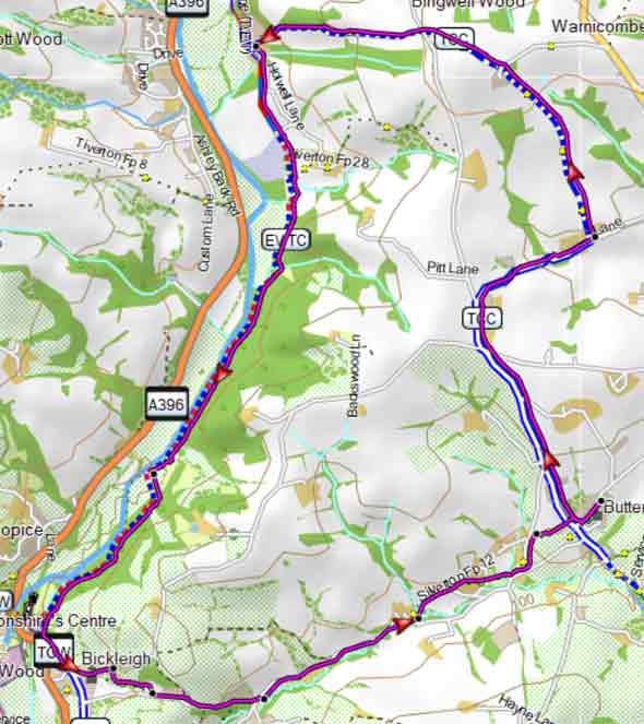
Walk 2 Burn Valley (4.9 miles)
Difficulty:![]()
A popular rural walk through the Burn Valley using mainly public footpaths and green lanes.
Some stretches can be quite muddy.
The route takes you into a most undisturbed part of Devon & offers some spectacular views.
Download GPX route for Mobile / GPS
Download FIT route for Watches / GPS
Butterleigh Walk 2
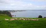
Walk 3 Bickleigh & River Exe (9.1 miles)
Difficulty:![]()
This delightful & varied pub walk , much of it it along the river Exe, is quite long but Bickleigh will form a welcoming break!
From Bickleigh it is 2.7 miles back to Butterleigh
The route uses mainly public footpaths and quiet lanes.
Some stretches can get muddy.
Download GPX route for Mobile / GPS
Download FIT route for Watches / GPS
Butterleigh Walk 3